alb3546599
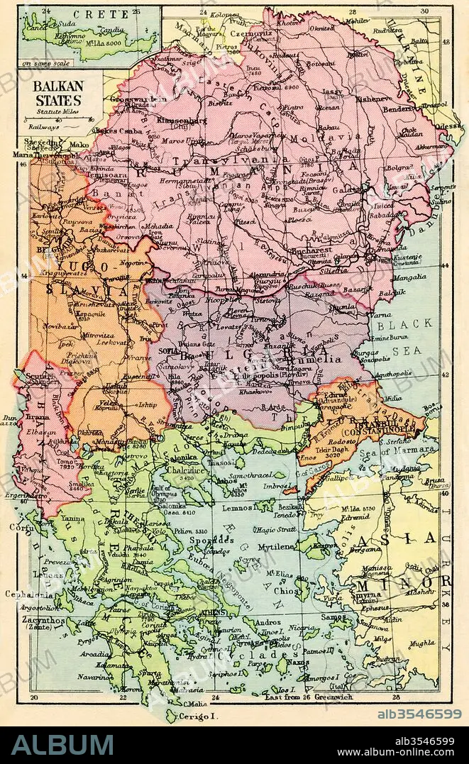
A 1930's map of the Balkan States
| Compartir |
|---|
 Pinterest Pinterest |
 Twitter Twitter |
 Facebook Facebook |
 Copiar enlace Copiar enlace |
 Email Email |
|
Añadir a otro lightbox |
|
Añadir a otro lightbox |


¿Ya tienes cuenta? Iniciar sesión
¿No tienes cuenta? Regístrate
Compra esta imagen.
Selecciona el uso:

Título:
A 1930's map of the Balkan States
Descripción:
Ver traducción automática
A 1930's map of the Balkan States.
Crédito:
Album / Universal Images Group / Universal History Archive
Autorizaciones:
Modelo: No - Propiedad: No
¿Preguntas relacionadas con los derechos?
¿Preguntas relacionadas con los derechos?
Tamaño imagen:
3427 x 5309 px | 52.1 MB
Tamaño impresión:
29.0 x 44.9 cm | 11.4 x 17.7 in (300 dpi)
