alb3860694
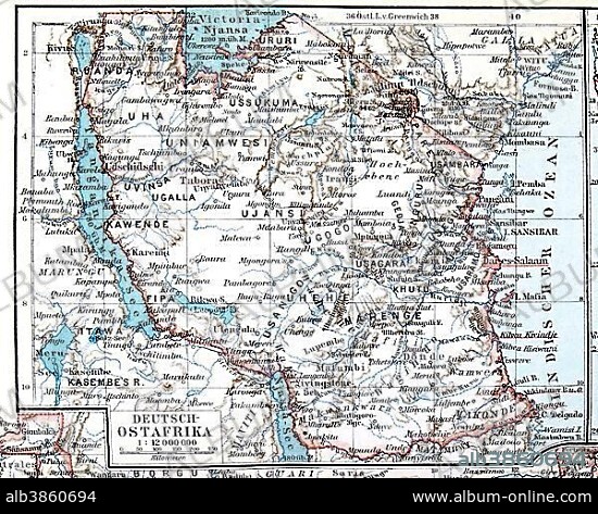
Map of the former German colony of East Africa, Meyers Konversations-Lexikon encyclopedia 1897.
| Compartir |
|---|
 Pinterest Pinterest |
 Twitter Twitter |
 Facebook Facebook |
 Copiar enlace Copiar enlace |
 Email Email |
|
Añadir a otro lightbox |
|
Añadir a otro lightbox |


¿Ya tienes cuenta? Iniciar sesión
¿No tienes cuenta? Regístrate
Compra esta imagen.
Selecciona el uso:

Descripción:
Ver traducción automática
Map of the former German colony of East Africa, Meyers Konversations-Lexikon encyclopedia 1897
Crédito:
Album / ImageBroker / Michael Nitzschke
Autorizaciones:
Tamaño imagen:
4676 x 3743 px | 50.1 MB
Tamaño impresión:
39.6 x 31.7 cm | 15.6 x 12.5 in (300 dpi)
Palabras clave:
AFRICA ORIENTAL • AFRICA • ALEMAN • ALEMANA • ALEMANES • ÁNGULO DE VISIÓN DE ELEVADO • ANTIGUO • BOCETO • CARTA • CARTAS • CONTINENTE • CONTINENTES • CUERPO ENTERO • DIBUJO • DIBUJOS • ESTE DE AFRICA • ESTUDIO DE FOTOGRAFIA • ESTUDIO • FOTOGRAMA COMPLETO • GEOGRAFIA • GEOGRAFICA • GEOGRAFICO • HISTORIA • ILUSTRACION • ILUSTRACIONES • ILUSTRADO • LETRAS • MAPA • NADIE • OBJETO • OBJETO, UN • OBJETOS • PERSONAJE • REPRESENTACIONES • SIN GENTE • SOLO OBJETO • TARJETA • TARJETAS • VISTA DESDE ARRIBA
