alb5407422
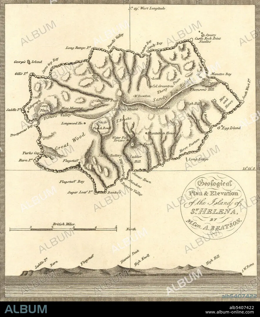
St. Helena, Map,1816
| Compartir |
|---|
 Pinterest Pinterest |
 Twitter Twitter |
 Facebook Facebook |
 Copiar enlace Copiar enlace |
 Email Email |
|
Añadir a otro lightbox |
|
Añadir a otro lightbox |


¿Ya tienes cuenta? Iniciar sesión
¿No tienes cuenta? Regístrate
Compra esta imagen.
Selecciona el uso:

Título:
St. Helena, Map,1816
Descripción:
Ver traducción automática
A map of St. Helena, the island in the middle of the South Atlantic where Napoleon Bonaparte was exiled and confined by the British from his defeat in 1815 until his death in 1821.
Personas:
Crédito:
Album / Science Source / Wellcome Images
Autorizaciones:
Tamaño imagen:
3116 x 3605 px | 32.1 MB
Tamaño impresión:
26.4 x 30.5 cm | 10.4 x 12.0 in (300 dpi)
