alb4095517
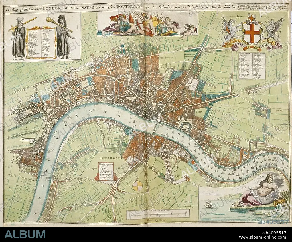
A map of the cities of London and Westminster and the Borough of Southwark with their suburbs, as it is now rebuilt since the late dreadful fire. A Collection of the County Mapps of the Kingdome of England and Principality of Wales, by John Seller (with a Map of Scotland and a Map of Ireland, a Plan of London and twenty-seven Views of its principal buildings). 1680. Source: Maps 1.TAB.18, page 4. Language: English.
| Compartir |
|---|
 Pinterest Pinterest |
 Twitter Twitter |
 Facebook Facebook |
 Copiar enlace Copiar enlace |
 Email Email |
|
Añadir a otro lightbox |
|
Añadir a otro lightbox |


¿Ya tienes cuenta? Iniciar sesión
¿No tienes cuenta? Regístrate
Compra esta imagen

Autor:
Descripción:
Ver traducción automática
A map of the cities of London and Westminster and the Borough of Southwark with their suburbs, as it is now rebuilt since the late dreadful fire. A Collection of the County Mapps of the Kingdome of England and Principality of Wales, by John Seller (with a Map of Scotland and a Map of Ireland, a Plan of London and twenty-seven Views of its principal buildings). 1680. Source: Maps 1.TAB.18, page 4. Language: English.
Crédito:
Album / British Library
Autorizaciones:
Modelo: No - Propiedad: No
¿Preguntas relacionadas con los derechos?
¿Preguntas relacionadas con los derechos?
Tamaño imagen:
5550 x 4303 px | 68.3 MB
Tamaño impresión:
47.0 x 36.4 cm | 18.5 x 14.3 in (300 dpi)
Palabras clave:
ALBION • CARTOGRAFIA • CARTOGRAFICO • ESCUDO DE ARMAS • EUROPA OCCIDENTAL • EUROPA • GRAN BRETAÑA • HERALDICA • HERÁLDICO • INGLATERRA • ISLAS BRITANICAS • LONDON • LONDRES • MAPA • RIO TAMESIS • SELLER, JOHN • SIGLO XVII • TAMESIS • WESTMINSTER
