alb2214645
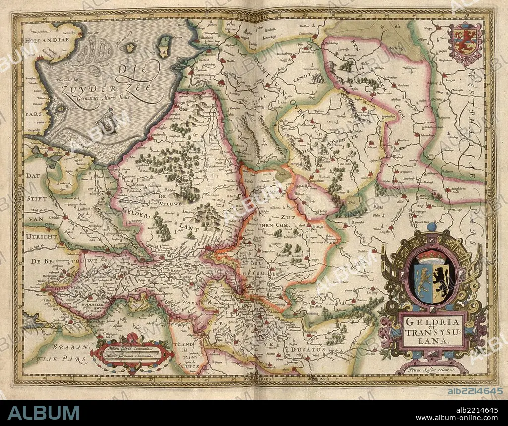
Map of Transylvania, Roumania 1622
| Compartir |
|---|
 Pinterest Pinterest |
 Twitter Twitter |
 Facebook Facebook |
 Copiar enlace Copiar enlace |
 Email Email |
|
Añadir a otro lightbox |
|
Añadir a otro lightbox |


¿Ya tienes cuenta? Iniciar sesión
¿No tienes cuenta? Regístrate
Compra esta imagen.
Selecciona el uso:

Título:
Map of Transylvania, Roumania 1622
Descripción:
Ver traducción automática
Transylvania is an historical region in the central part of Romania. Bounded on the east and south by the Carpathian mountain range, historical Transylvania extended in the west to the Apuseni Mountains; however, the term frequently encompasses not only Transylvania proper, but also the historical regions of Crisana, Maramures, and (Romanian) Banat.
Crédito:
Album / Universal Images Group / Universal History Archive/UIG
Autorizaciones:
Modelo: No - Propiedad: No
¿Preguntas relacionadas con los derechos?
¿Preguntas relacionadas con los derechos?
Tamaño imagen:
7658 x 6024 px | 132.0 MB
Tamaño impresión:
64.8 x 51.0 cm | 25.5 x 20.1 in (300 dpi)
Palabras clave:
ALEMANIA • AMSTERDAM • ATLAS • CARTOGRAFIA • CARTOGRAFICO • HOLANDA • HOLANDES • HOLANDESA • LUXEMBURGO • MAPA
