alb8368453
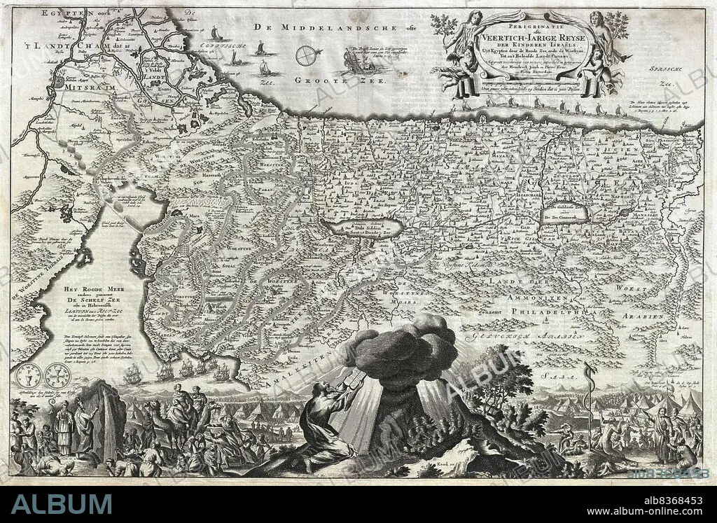
Palestine / Israel: Dutch map depicting 'the Holy Land' of Palestine and Israel, originally by Nicolaes Visscher I (1618-1679) and re-engraved by Daniel Stoopendaal (1672-1726),1702 (Private Collection)
| Compartir |
|---|
 Pinterest Pinterest |
 Twitter Twitter |
 Facebook Facebook |
 Copiar enlace Copiar enlace |
 Email Email |
|
Añadir a otro lightbox |
|
Añadir a otro lightbox |


¿Ya tienes cuenta? Iniciar sesión
¿No tienes cuenta? Regístrate
Compra esta imagen.
Selecciona el uso:

Título: Palestine / Israel: Dutch map depicting 'the Holy Land' of Palestine and Israel, originally by Nicolaes Visscher I (1618-1679) and re-engraved by Daniel Stoopendaal (1672-1726),1702 (Private Collection)
Descripción: Ver traducción automática
Nicolaes Visscher I (1618-1679) was a Dutch cartographer, engraver and publisher, the son of famed Dutch Golden Age draughtsman Claes Janszoon Visscher. He produced various double hemisphere maps, often working alongside his son, Nicolaes Visscher II, who continued the family tradition after his death.
. Daniel Stoopendaal (1672-1726) was a Dutch engraver and mapmaker based out of Amsterdam. His well known works include garden and landscape prints, as well as re-engravings of Nicolaes Visscher's maps of the Holy Land, for inclusion in the Keur Bible.
Crédito: Album / Universal Images Group / Pictures From History
Autorizaciones: ? Cesión de modelo: No - ? Cesión de propiedad: No
¿Preguntas relacionadas con los derechos?
¿Preguntas relacionadas con los derechos?
Tamaño imagen: 5100 × 3454 px | 50.4 MB
Tamaño impresión: 43.2 × 29.2 cm | 2007.9 × 1359.8 in (300 dpi)
