alb5480506
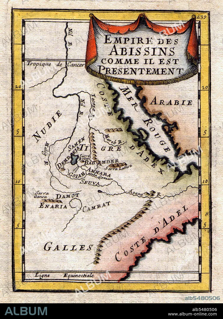
Ethiopia / Sudan / South Sudan: A Map of the Abyssinian Empire,1683
| Compartir |
|---|
 Pinterest Pinterest |
 Twitter Twitter |
 Facebook Facebook |
 Copiar enlace Copiar enlace |
 Email Email |
|
Añadir a otro lightbox |
|
Añadir a otro lightbox |


¿Ya tienes cuenta? Iniciar sesión
¿No tienes cuenta? Regístrate
Compra esta imagen.
Selecciona el uso:

Título: Ethiopia / Sudan / South Sudan: A Map of the Abyssinian Empire,1683
Descripción: Ver traducción automática
A French map of the Red Sea and East African Coast dated 1683 and showing parts of Arabia, Nubia, Sudan, South Sudan, Somalia and East Africa.
A French map of the Red Sea and East African Coast dated 1683 and showing parts of Arabia, Nubia, Sudan, South Sudan, Somalia and East Africa.
Crédito: Album / Pictures From History/Universal Images Group
Autorizaciones: ? Cesión de modelo: No - ? Cesión de propiedad: No
¿Preguntas relacionadas con los derechos?
¿Preguntas relacionadas con los derechos?
Tamaño imagen: 3600 × 4887 px | 50.3 MB
Tamaño impresión: 30.5 × 41.4 cm | 1417.3 × 1924.0 in (300 dpi)
