alb1658040
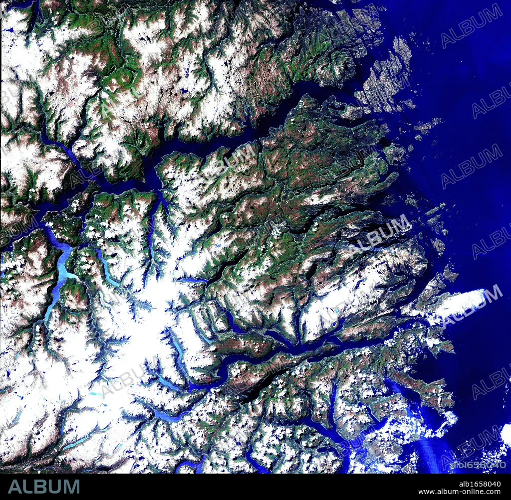
Satellite view of the Norwegian fjords: Sogn og Fjordane, west coast of Norway. US Geological Survey. Science.
| Compartir |
|---|
 Pinterest Pinterest |
 Twitter Twitter |
 Facebook Facebook |
 Copiar enlace Copiar enlace |
 Email Email |
|
Añadir a otro lightbox |
|
Añadir a otro lightbox |


¿Ya tienes cuenta? Iniciar sesión
¿No tienes cuenta? Regístrate
Compra esta imagen

Descripción:
Ver traducción automática
Satellite view of the Norwegian fjords: Sogn og Fjordane, west coast of Norway. US Geological Survey. Science
Crédito:
Album / Universal History Archive/Universal Images Group
Autorizaciones:
Modelo: No - Propiedad: No
¿Preguntas relacionadas con los derechos?
¿Preguntas relacionadas con los derechos?
Tamaño imagen:
4411 x 4092 px | 51.6 MB
Tamaño impresión:
37.3 x 34.6 cm | 14.7 x 13.6 in (300 dpi)
