alb2219810
Pennsylvania Central-1854 1854
| Compartir |
|---|
 Pinterest Pinterest |
 Twitter Twitter |
 Facebook Facebook |
 Copiar enlace Copiar enlace |
 Email Email |
|
Añadir a otro lightbox |
|
Añadir a otro lightbox |


¿Ya tienes cuenta? Iniciar sesión
¿No tienes cuenta? Regístrate
Compra esta imagen.
Selecciona el uso:

Título:
Pennsylvania Central-1854 1854
Descripción:
Ver traducción automática
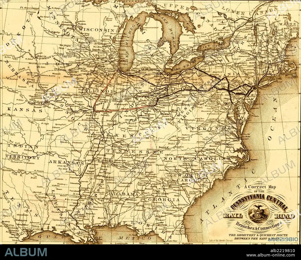
Pennsylvania Central - 1854; map of the eastern United States showing the railroad network and emphasizing the routes between St. Louis and Chicago, and Baltimore, Philadelphia, and New York.
Crédito:
Album / Universal Images Group / Universal History Archive/UIG
Autorizaciones:
Tamaño imagen:
2740 x 2225 px | 17.4 MB
Tamaño impresión:
23.2 x 18.8 cm | 9.1 x 7.4 in (300 dpi)
Palabras clave:
1854 • BARCO A VAPOR • BARCO DE VAPOR • CARTOGRAFIA • CARTOGRAFICO • COSTA • FERROCARRIL • MAPA • MAPAS • RUTAS • TRANSPORTE • TRAVESIA • TRAYECTO • TREN • VÍA FÉRREA • VIAJAR • VIAJE • VIAJES
