alb9841624
ANON. Map of a part of the head of North Holland, c.1620-c.1699. Creator: Anon.
| Compartir |
|---|
 Pinterest Pinterest |
 Twitter Twitter |
 Facebook Facebook |
 Copiar enlace Copiar enlace |
 Email Email |
|
Añadir a otro lightbox |
|
Añadir a otro lightbox |


¿Ya tienes cuenta? Iniciar sesión
¿No tienes cuenta? Regístrate
Compra esta imagen

Autor:
Título:
Map of a part of the head of North Holland, c.1620-c.1699. Creator: Anon.
Descripción:
Ver traducción automática
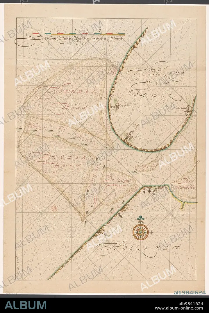
Map of a part of the head of North Holland, southern Texel and the surrounding sandbanks, c.1620-c.1699.
Crédito:
Album / Heritage Art/Heritage Images
Autorizaciones:
Modelo: No - Propiedad: No
¿Preguntas relacionadas con los derechos?
¿Preguntas relacionadas con los derechos?
Tamaño imagen:
4872 x 6940 px | 96.7 MB
Tamaño impresión:
41.2 x 58.8 cm | 16.2 x 23.1 in (300 dpi)
Palabras clave:
ACUARELA • ANON • ANONIMA • ANONIMO • ARENA • ARTE • ARTEFACTO • ARTES • CARTOGRAFIA • COLOR • CONCEPTO • CULTURA • DIBUJO • ESCENA • EUROPA • EXHIBICION • EXPOSICION • GALERIA DE ARTE • GALERIA • GRABADO • HISTORIA • HISTORICO • HOLANDES • ILUSTRACION • ILUSTRADO • IMPRESION • MAPA • MUSEO • PAISES BAJOS • PAPEL • PINACOTECA • RIJKSMUSEUM • SIGLO XVII • SIGLO • TINTA
