alb4465872
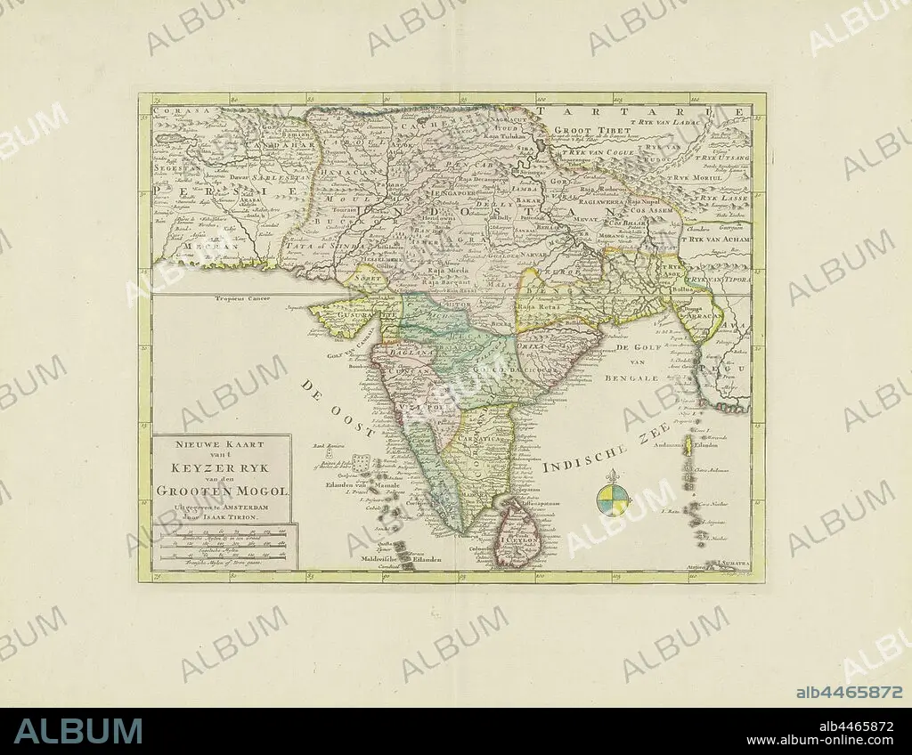
Map of India, New map of 't Keyzerryk van den Grooten Mogol (title on object), different areas colored differently, bottom right compass rose, bottom left under inscription the scale in German, English and French miles (1: 12.5 million), maps of separate countries or regions, India, Sri Lanka, Jacob Keyser (mentioned on object), Amsterdam, 1730 and/or 1744, paper, engraving, h 284 mm × w 364 mm.
| Compartir |
|---|
 Pinterest Pinterest |
 Twitter Twitter |
 Facebook Facebook |
 Copiar enlace Copiar enlace |
 Email Email |
|
Añadir a otro lightbox |
|
Añadir a otro lightbox |


¿Ya tienes cuenta? Iniciar sesión
¿No tienes cuenta? Regístrate
Compra esta imagen

Descripción:
Ver traducción automática
Map of India, New map of 't Keyzerryk van den Grooten Mogol (title on object), different areas colored differently, bottom right compass rose, bottom left under inscription the scale in German, English and French miles (1: 12.5 million), maps of separate countries or regions, India, Sri Lanka, Jacob Keyser (mentioned on object), Amsterdam, 1730 and/or 1744, paper, engraving, h 284 mm × w 364 mm
Crédito:
Album / quintlox
Autorizaciones:
Modelo: No - Propiedad: No
¿Preguntas relacionadas con los derechos?
¿Preguntas relacionadas con los derechos?
Tamaño imagen:
4963 x 3852 px | 54.7 MB
Tamaño impresión:
42.0 x 32.6 cm | 16.5 x 12.8 in (300 dpi)
