alb8348563
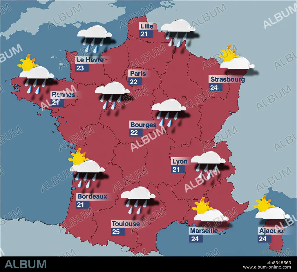
Forecast maps intended for the general public show only the forecast temperatures, precipitation, and cloud cover. They are thus very easy to read. The graphical symbols used for this type of map are not standardized, but vary according to the organization that produces the map.
| Compartir |
|---|
 Pinterest Pinterest |
 Twitter Twitter |
 Facebook Facebook |
 Copiar enlace Copiar enlace |
 Email Email |
|
Añadir a otro lightbox |
|
Añadir a otro lightbox |


¿Ya tienes cuenta? Iniciar sesión
¿No tienes cuenta? Regístrate
Compra esta imagen.
Selecciona el uso:

Descripción:
Ver traducción automática
Forecast maps intended for the general public show only the forecast temperatures, precipitation, and cloud cover. They are thus very easy to read. The graphical symbols used for this type of map are not standardized, but vary according to the organization that produces the map.
Crédito:
Album / Universal Images Group
Autorizaciones:
Tamaño imagen:
3000 x 2596 px | 22.3 MB
Tamaño impresión:
25.4 x 22.0 cm | 10.0 x 8.7 in (300 dpi)
Palabras clave:
