alb4504331
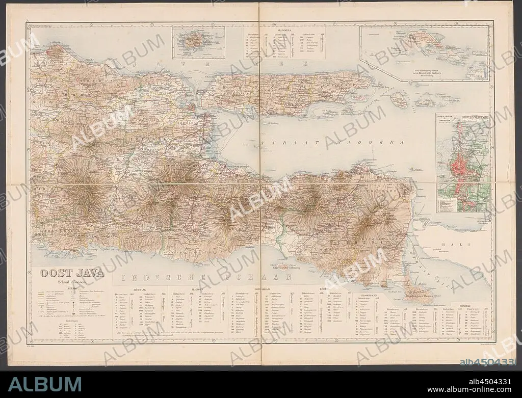
Map of East Java, Map of East Java with legend and inset maps from the area around Surabaya, the Kangean Islands and the island of Bawean. Numbered top left: 5. With degree distribution along the edges, maps of separate countries or regions, East Java, Bawean, Kangean Islands, Surabaya, Topografische Inrichting (mentioned on object), Java, 1906, paper, linen (material), h 655 mm × w 920 mm.
| Compartir |
|---|
 Pinterest Pinterest |
 Twitter Twitter |
 Facebook Facebook |
 Copiar enlace Copiar enlace |
 Email Email |
|
Añadir a otro lightbox |
|
Añadir a otro lightbox |


¿Ya tienes cuenta? Iniciar sesión
¿No tienes cuenta? Regístrate
Compra esta imagen.
Selecciona el uso:

Descripción: Ver traducción automática
Map of East Java, Map of East Java with legend and inset maps from the area around Surabaya, the Kangean Islands and the island of Bawean. Numbered top left: 5. With degree distribution along the edges, maps of separate countries or regions, East Java, Bawean, Kangean Islands, Surabaya, Topografische Inrichting (mentioned on object), Java, 1906, paper, linen (material), h 655 mm × w 920 mm
Map of East Java, Map of East Java with legend and inset maps from the area around Surabaya, the Kangean Islands and the island of Bawean. Numbered top left: 5. With degree distribution along the edges, maps of separate countries or regions, East Java, Bawean, Kangean Islands, Surabaya, Topografische Inrichting (mentioned on object), Java, 1906, paper, linen (material), h 655 mm × w 920 mm
Crédito: Album / quintlox
Autorizaciones: ? Cesión de modelo: No - ? Cesión de propiedad: No
¿Preguntas relacionadas con los derechos?
¿Preguntas relacionadas con los derechos?
Tamaño imagen: 6000 × 4265 px | 73.2 MB
Tamaño impresión: 50.8 × 36.1 cm | 2362.2 × 1679.1 in (300 dpi)
