alb9215449
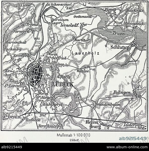
City map of Lübeck, Hanseatic city, Schleswig-Holstein, Germany, Trave, Baltic Sea, districts, Schlutup, St. Lorenz, map, cartography, railway lines, surrounding area, historical illustration 19th century, Europe.
| Compartir |
|---|
 Pinterest Pinterest |
 Twitter Twitter |
 Facebook Facebook |
 Copiar enlace Copiar enlace |
 Email Email |
|
Añadir a otro lightbox |
|
Añadir a otro lightbox |


¿Ya tienes cuenta? Iniciar sesión
¿No tienes cuenta? Regístrate
Compra esta imagen.
Selecciona el uso:

Descripción:
Ver traducción automática
City map of Lübeck, Hanseatic city, Schleswig-Holstein, Germany, Trave, Baltic Sea, districts, Schlutup, St. Lorenz, map, cartography, railway lines, surrounding area, historical illustration 19th century, Europe
Crédito:
Album / ImageBroker / Wolfgang Diederich
Autorizaciones:
Modelo: No - Propiedad: No
¿Preguntas relacionadas con los derechos?
¿Preguntas relacionadas con los derechos?
Tamaño imagen:
600 x 574 px | 1009.0 KB
Tamaño impresión:
5.1 x 4.9 cm | 2.0 x 1.9 in (300 dpi)
Palabras clave:
90S • ALEMAN • ALEMANA • ALEMANES • ALEMANIA • AÑOS NOVENTA • CHURCH • CIUDAD • CIUDADES • DECADA NOVENTA • DESHABITADO • EDIFICIO RELIGIOSO • EDIFICIO • EDIFICIOS • ESTRUCTURA • EUROPA CENTRAL • EUROPA • GEOGRAFIA • GEOGRAFICA • GEOGRAFICO • HISTORIA • HISTORICO • IGLESIA • ILUSTRACIÓN HISTÓRICA • ILUSTRACION • MAPA URBANO • MAPA • MAR BALTICO • MAR • NADIE • NAVEGACION • ORIENTACION • PUEBLO • REPUBLICA FEDERAL ALEMANA • RIO • RIOS • S. XIX • SCHLESWIG-HOLSTEIN • SIGLO XIX • SIN GENTE • URBANO • VACIAS
