alb4092734
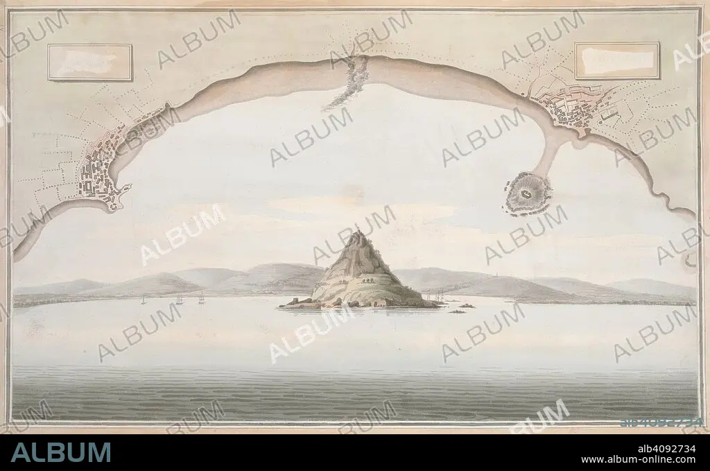
A view of St. Michael's Mount and the adjacent coast, with a plan of the coast of Cornwall from Penzance to Merazion. A colored view of St. Michael's Mount and the adjacent coast, taken from the sea; with a plan of the coast of Cornwall from Penzance to Merazion. ca. 1775-1800. Source: Maps K.Top.9.41.i.
| Compartir |
|---|
 Pinterest Pinterest |
 Twitter Twitter |
 Facebook Facebook |
 Copiar enlace Copiar enlace |
 Email Email |
|
Añadir a otro lightbox |
|
Añadir a otro lightbox |


¿Ya tienes cuenta? Iniciar sesión
¿No tienes cuenta? Regístrate
Compra esta imagen.
Selecciona el uso:

Descripción:
Ver traducción automática
A view of St. Michael's Mount and the adjacent coast, with a plan of the coast of Cornwall from Penzance to Merazion. A colored view of St. Michael's Mount and the adjacent coast, taken from the sea; with a plan of the coast of Cornwall from Penzance to Merazion. ca. 1775-1800. Source: Maps K.Top.9.41.i.
Crédito:
Album / British Library
Autorizaciones:
Tamaño imagen:
7821 x 4782 px | 107.0 MB
Tamaño impresión:
66.2 x 40.5 cm | 26.1 x 15.9 in (300 dpi)
Palabras clave:
CORDILLERA • COSTA • DOCUMENTO • FLOTA • GRAN BRETAÑA • INGLATERRA • LITORAL • MACIZO • MAR • MARINA • MARINE • MONTAJE • MONTAÑA • MONTAÑAS • MONTE • NADIE • OCEANO • ORILLA DEL MAR • REINO UNIDO • S. XVIII • SEA • SIGLO XVIII
