alb4085389
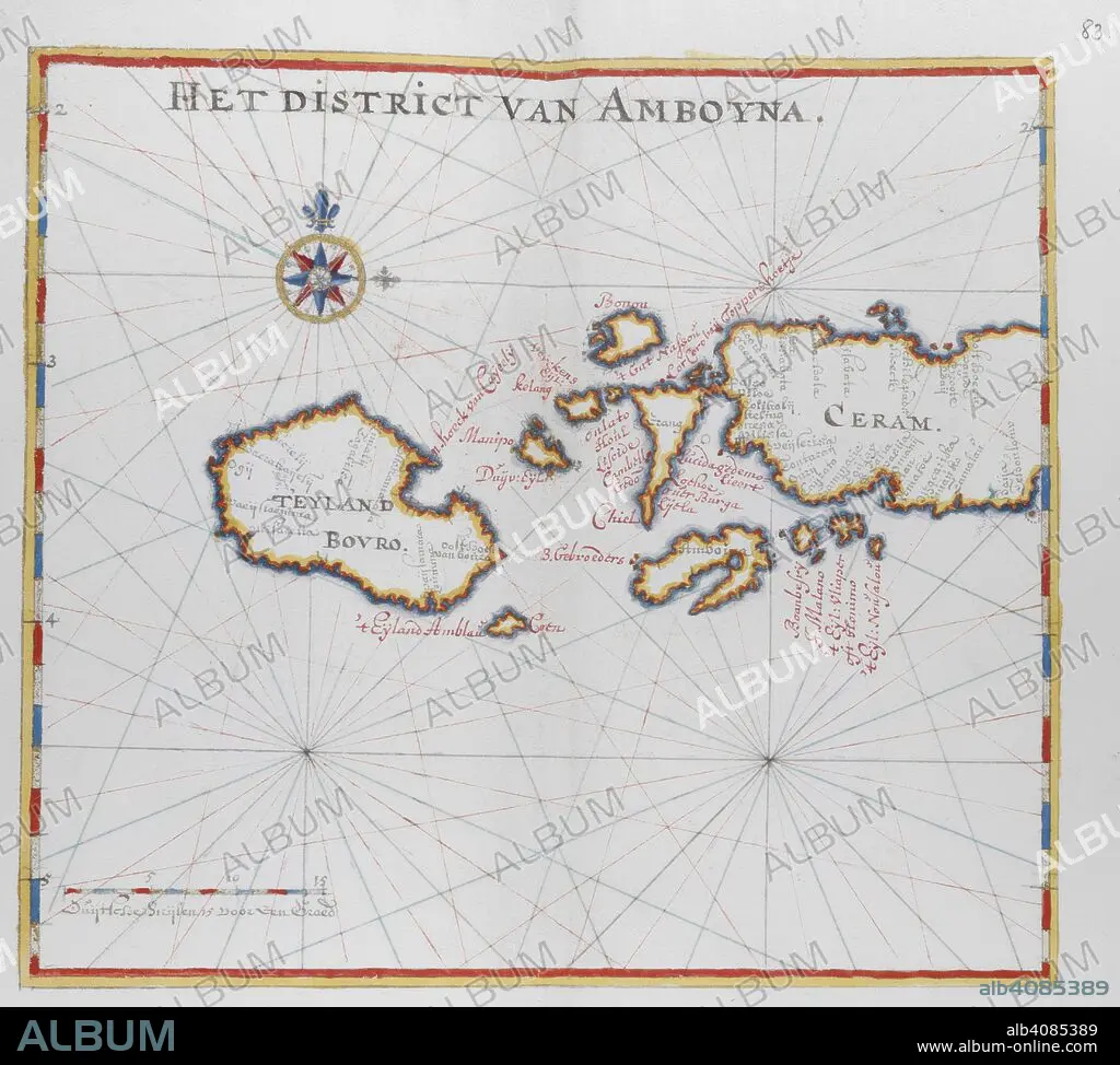
Map showing the islands of Bouro and Ceram (Seram), Indonesia. DUTCH PORTOLANO, containing forty-nine coloured maps and views. 17th century. Source: Add. 34184, f.82.
| Compartir |
|---|
 Pinterest Pinterest |
 Twitter Twitter |
 Facebook Facebook |
 Copiar enlace Copiar enlace |
 Email Email |
|
Añadir a otro lightbox |
|
Añadir a otro lightbox |


¿Ya tienes cuenta? Iniciar sesión
¿No tienes cuenta? Regístrate
Compra esta imagen.
Selecciona el uso:

Descripción:
Ver traducción automática
Map showing the islands of Bouro and Ceram (Seram), Indonesia. DUTCH PORTOLANO, containing forty-nine coloured maps and views. 17th century. Source: Add. 34184, f.82.
Crédito:
Album / British Library
Autorizaciones:
Modelo: No - Propiedad: No
¿Preguntas relacionadas con los derechos?
¿Preguntas relacionadas con los derechos?
Tamaño imagen:
4421 x 3977 px | 50.3 MB
Tamaño impresión:
37.4 x 33.7 cm | 14.7 x 13.3 in (300 dpi)
Palabras clave:
ASIA • CARTOGRAFIA • CARTOGRAFICO • GRAFICO • INDONESIA • INDONESIO • MAPA • SIGLO XVII • SUDESTE DE ASIA
