alb9226744
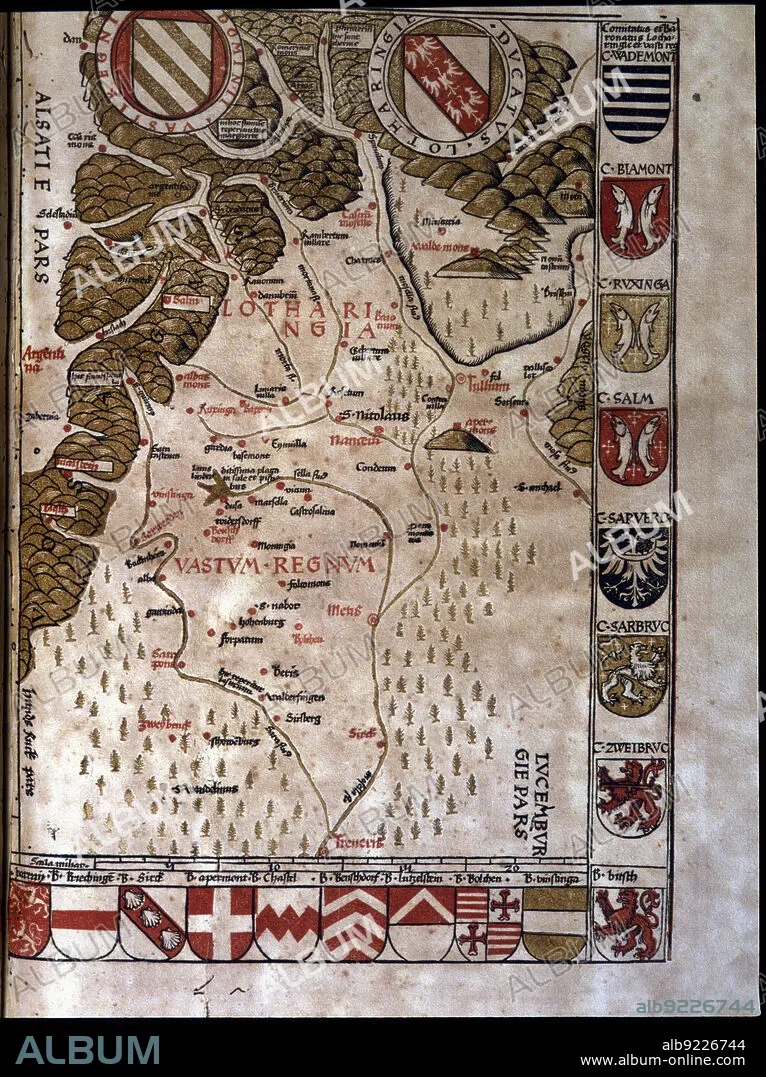
Map of the Duchy of Lotaringia, now Lorraine (France), 1596. Creator: Ptolomeo, Claudio. (90-168).
| Compartir |
|---|
 Pinterest Pinterest |
 Twitter Twitter |
 Facebook Facebook |
 Copiar enlace Copiar enlace |
 Email Email |
|
Añadir a otro lightbox |
|
Añadir a otro lightbox |


¿Ya tienes cuenta? Iniciar sesión
¿No tienes cuenta? Regístrate
Compra esta imagen.
Selecciona el uso:

Título:
Map of the Duchy of Lotaringia, now Lorraine (France), 1596. Creator: Ptolomeo, Claudio. (90-168).
Descripción:
Ver traducción automática
Map of the Duchy of Lotaringia, now Lorraine (France). In'Geographiae Universae', 1596.
Crédito:
Album / Index/Heritage Images
Autorizaciones:
Tamaño imagen:
4865 x 6507 px | 90.6 MB
Tamaño impresión:
41.2 x 55.1 cm | 16.2 x 21.7 in (300 dpi)
Palabras clave:
BARCELONA, • BIBLIOTECA UNIVERSITARIA • COLLÈGE • COLOR • COLORIDO • DUCADO • ESPANA • ESPAÑA • FRANCIA • LORENA • MAPA • S. XVI • SIGLO XVI • UNIVERSIDAD • UNIVERSIDADES
