alb4069841
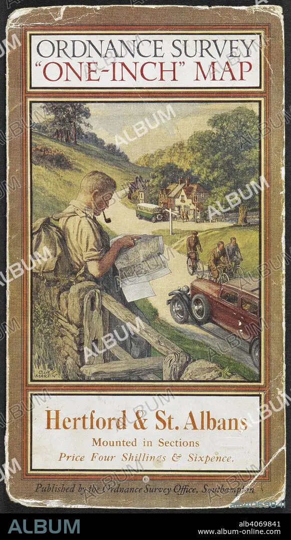
Cover of Hertford & St. Albans tourist map, showing a rambler reading a map. Hertford & St. Albans: tourist map. Southampton Ordnance Survey, 1931. Source: Maps.209.d.3.(43), cover. Language: English.
| Compartir |
|---|
 Pinterest Pinterest |
 Twitter Twitter |
 Facebook Facebook |
 Copiar enlace Copiar enlace |
 Email Email |
|
Añadir a otro lightbox |
|
Añadir a otro lightbox |


¿Ya tienes cuenta? Iniciar sesión
¿No tienes cuenta? Regístrate
Compra esta imagen

Descripción:
Ver traducción automática
Cover of Hertford & St. Albans tourist map, showing a rambler reading a map. Hertford & St. Albans: tourist map. Southampton Ordnance Survey, 1931. Source: Maps.209.d.3.(43), cover. Language: English.
Crédito:
Album / British Library
Autorizaciones:
Modelo: No - Propiedad: No
¿Preguntas relacionadas con los derechos?
¿Preguntas relacionadas con los derechos?
Tamaño imagen:
3968 x 6990 px | 79.4 MB
Tamaño impresión:
33.6 x 59.2 cm | 13.2 x 23.3 in (300 dpi)
Palabras clave:
ACONTECIMIENTO • AUTO • AUTOMOVIL • BICICLETA • CARTOGRAFIA • CARTOGRAFICO • COCHE • HOMBRE • HOMBRES • LEER • MAPA • MASCULINA • MASCULINO • MASCULINOS • MEN • PIPA • RETRATO DE HOMBRE • S. XX • SIGLO XX • TRANSPORTE • VEHICULO • VIAJE
