alb3904832
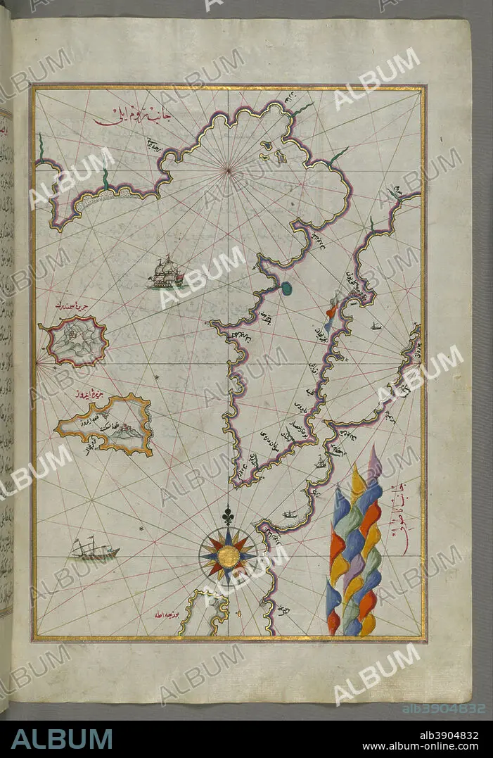
PIRI REIS. Map of the Islands of Semendrek and Imroz in the Aegean Sea. Date/Period: Ottoman. Illuminated manuscripts; folios (leaves); maps. Ink and pigments on laid European paper ink and pigments on laid European paper. Height: 34 mm (1.33 in); Width: 24 mm (0.94 in).
| Compartir |
|---|
 Pinterest Pinterest |
 Twitter Twitter |
 Facebook Facebook |
 Copiar enlace Copiar enlace |
 Email Email |
|
Añadir a otro lightbox |
|
Añadir a otro lightbox |


¿Ya tienes cuenta? Iniciar sesión
¿No tienes cuenta? Regístrate
Compra esta imagen.
Selecciona el uso:

Descripción:
Ver traducción automática
Map of the Islands of Semendrek and Imroz in the Aegean Sea. Date/Period: Ottoman. Illuminated manuscripts; folios (leaves); maps. Ink and pigments on laid European paper ink and pigments on laid European paper. Height: 34 mm (1.33 in); Width: 24 mm (0.94 in).
Técnica/material:
Illuminated manuscripts; folios (leaves); maps
Localización:
Walters Art Museum
Crédito:
Album
Autorizaciones:
Tamaño imagen:
4691 x 6852 px | 92.0 MB
Tamaño impresión:
39.7 x 58.0 cm | 15.6 x 22.8 in (300 dpi)
Palabras clave:
