alb5368504
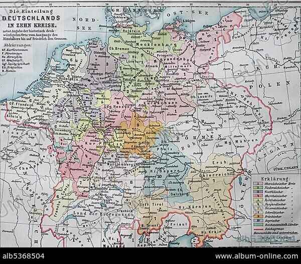
Map, the division of Germany into ten circles in the 16th century, imperial circles, historical illustration, Germany
| Compartir |
|---|
 Pinterest Pinterest |
 Twitter Twitter |
 Facebook Facebook |
 Copiar enlace Copiar enlace |
 Email Email |
|
Añadir a otro lightbox |
|
Añadir a otro lightbox |


¿Ya tienes cuenta? Iniciar sesión
¿No tienes cuenta? Regístrate
Compra esta imagen.
Selecciona el uso:

Descripción: Ver traducción automática
Map, the division of Germany into ten circles in the 16th century, imperial circles, historical illustration, Germany, Europe
Map, the division of Germany into ten circles in the 16th century, imperial circles, historical illustration, Germany, Europe
Crédito: Album / ImageBroker / BAO
Autorizaciones: ? Cesión de modelo: No - ? Cesión de propiedad: No
¿Preguntas relacionadas con los derechos?
¿Preguntas relacionadas con los derechos?
Tamaño imagen: 4607 × 3794 px | 50.0 MB
Tamaño impresión: 39.0 × 32.1 cm | 1813.8 × 1493.7 in (300 dpi)
Palabras clave: 10 • BOCETO • CARTAS • COLOREADA • CUENTO • DIBUJO • DIBUJOS • DÍGITOS • GEOGRAFIA • HISTORIA CONTEMPORANEA • HISTORIA • HISTORICO • ILUSTRACION • ILUSTRACIONES • ILUSTRADO • MAPA • NADIE • NUMERO • REDONDO • RELATO • S. X • S. XVI • SIGLO X • SIGLO XVI • SIN GENTE • TARJETA • TARJETAS
