alb1643032
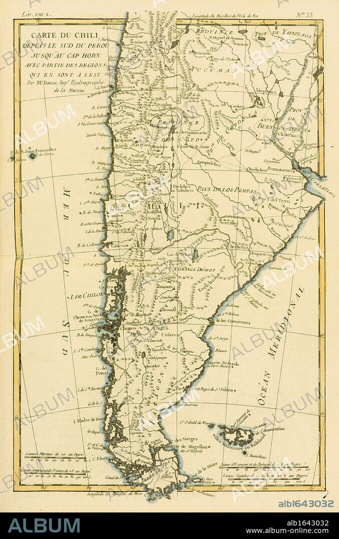
Map of Chile and southern Peru to Cape Horn, circa.1760. From 'Atlas de Toutes Les Parties Connues du Globe Terrestre ' by Cartographer Rigobert Bonne. Published Geneva circa. 1760.

|
Añadir a otro lightbox |
|
Añadir a otro lightbox |


¿Ya tienes cuenta? Iniciar sesión
¿No tienes cuenta? Regístrate
Compra esta imagen.
Selecciona el uso:

Descripción:
Ver traducción automática
Map of Chile and southern Peru to Cape Horn, circa.1760. From 'Atlas de Toutes Les Parties Connues du Globe Terrestre ' by Cartographer Rigobert Bonne. Published Geneva circa. 1760.
Crédito:
Album / Universal History Archive/Universal Images Group
Autorizaciones:
Tamaño imagen:
3497 x 5286 px | 52.9 MB
Tamaño impresión:
29.6 x 44.8 cm | 11.7 x 17.6 in (300 dpi)
 Pinterest
 Twitter
 Facebook
 Copiar enlace
 Email
Email
