alb9231631
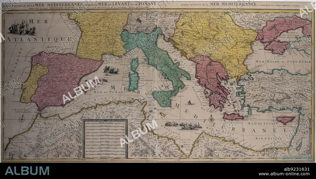
Marine chart of the eastern part of the Mediterranean Sea with the entire African coast..., 17th cen Creator: Sanson, Nicolás (1600-1667) .
| Compartir |
|---|
 Pinterest Pinterest |
 Twitter Twitter |
 Facebook Facebook |
 Copiar enlace Copiar enlace |
 Email Email |
|
Añadir a otro lightbox |
|
Añadir a otro lightbox |


¿Ya tienes cuenta? Iniciar sesión
¿No tienes cuenta? Regístrate
Compra esta imagen.
Selecciona el uso:

Título:
Marine chart of the eastern part of the Mediterranean Sea with the entire African coast..., 17th cen Creator: Sanson, Nicolás (1600-1667) .
Descripción:
Ver traducción automática
Marine chart of the eastern part of the Mediterranean Sea with the entire African coast to Egypt and the Red Sea and part of the Black Sea, 17th century. Edited in Amsterdam by Pierre Mortier.
Crédito:
Album / Arxiu Delstres - Index/Heritage Images
Autorizaciones:
Modelo: No - Propiedad: No
¿Preguntas relacionadas con los derechos?
¿Preguntas relacionadas con los derechos?
Tamaño imagen:
7200 x 3718 px | 76.6 MB
Tamaño impresión:
61.0 x 31.5 cm | 24.0 x 12.4 in (300 dpi)
