alb5465123
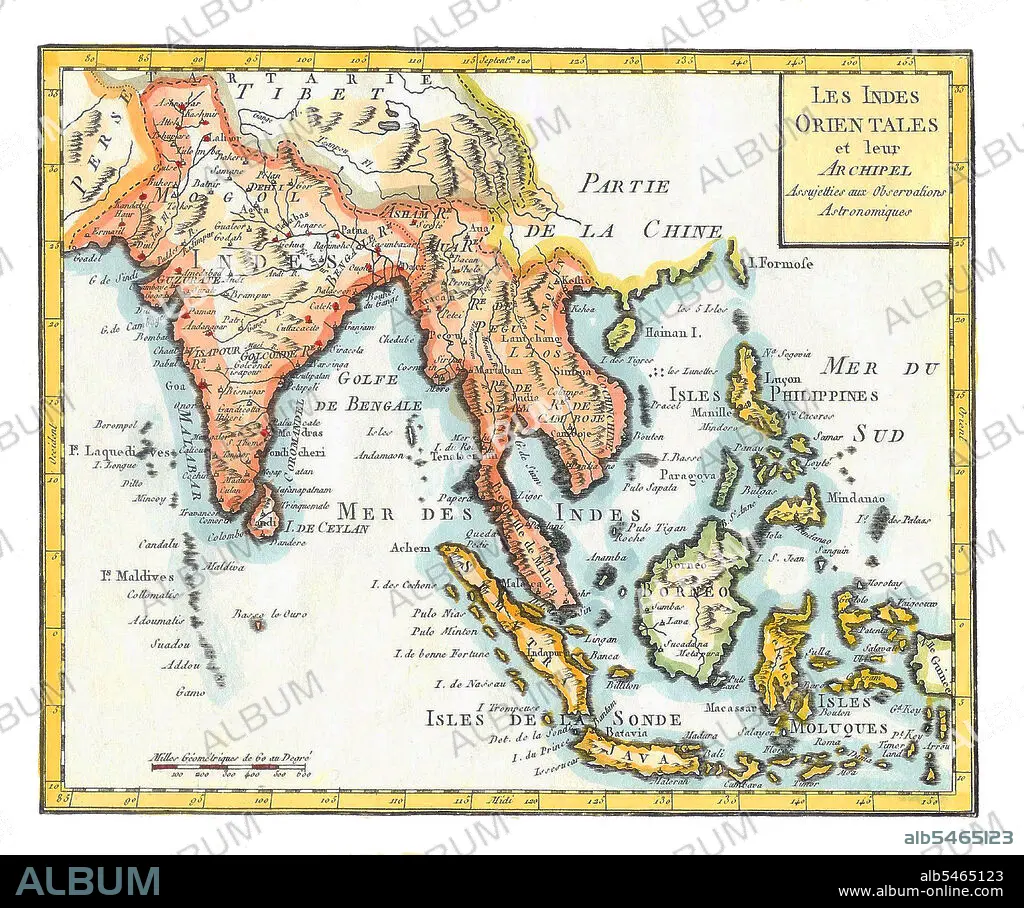
East Indies', hand coloured map by Joseph de LaPorte,1799.
| Compartir |
|---|
 Pinterest Pinterest |
 Twitter Twitter |
 Facebook Facebook |
 Copiar enlace Copiar enlace |
 Email Email |
|
Añadir a otro lightbox |
|
Añadir a otro lightbox |


¿Ya tienes cuenta? Iniciar sesión
¿No tienes cuenta? Regístrate
Compra esta imagen.
Selecciona el uso:

Título:
East Indies', hand coloured map by Joseph de LaPorte,1799.
Descripción:
Traducción automática: Indias Orientales es un término utilizado por los europeos a partir del siglo XVI para identificar lo que hoy se conoce como el subcontinente indio o el sur de Asia, el sudeste asiático y las islas de Oceanía, incluido el archipiélago malayo y Filipinas. El término ha excluido tradicionalmente a China, Japón y otros países al norte de la India y el Himalaya. Los nombres "India" e "Indias", derivados del río Indo en el actual Pakistán, fueron aplicados por los antiguos griegos a la mayoría de las regiones de Asia que se encontraban más al este que Persia. Este uso data al menos de la época de Heródoto, en el siglo V a.C.
East Indies is a term used by Europeans from the 16th century onwards to identify what is now known as the Indian subcontinent or South Asia, Southeastern Asia, and the islands of Oceania, including the Malay Archipelago and the Philippines. The term has traditionally excluded China, Japan, and other countries to the north of India and the Himalayas. The names 'India' and 'the Indies', derived from the Indus River in modern-day Pakistan, were applied by the ancient Greeks to most of the regions of Asia that lay further to the east than Persia. This usage dates at least from the time of Herodotus, in the 5th century BCE.
Crédito:
Album / Pictures From History/Universal Images Group
Autorizaciones:
Tamaño imagen:
4600 x 3839 px | 50.5 MB
Tamaño impresión:
38.9 x 32.5 cm | 15.3 x 12.8 in (300 dpi)
