alb1651447
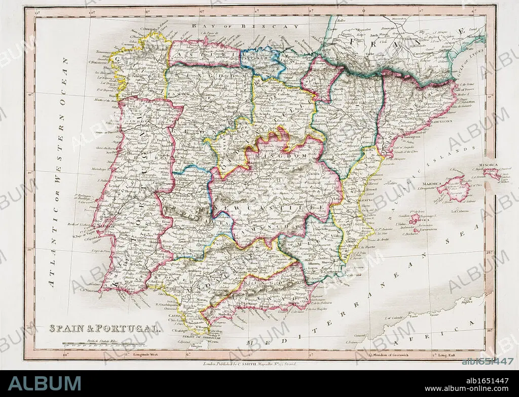
Map of Spain and Portugal from Smith's General Atlas published London 1850 by C. Smith Mapseller Number 172 The Strand.
| Compartir |
|---|
 Pinterest Pinterest |
 Twitter Twitter |
 Facebook Facebook |
 Copiar enlace Copiar enlace |
 Email Email |
|
Añadir a otro lightbox |
|
Añadir a otro lightbox |


¿Ya tienes cuenta? Iniciar sesión
¿No tienes cuenta? Regístrate
Compra esta imagen

Descripción:
Ver traducción automática
Map of Spain and Portugal from Smith's General Atlas published London 1850 by C. Smith Mapseller Number 172 The Strand
Crédito:
Album / Universal History Archive/Universal Images Group
Autorizaciones:
Modelo: No - Propiedad: No
¿Preguntas relacionadas con los derechos?
¿Preguntas relacionadas con los derechos?
Tamaño imagen:
5259 x 3756 px | 56.5 MB
Tamaño impresión:
44.5 x 31.8 cm | 17.5 x 12.5 in (300 dpi)
