alb5336913
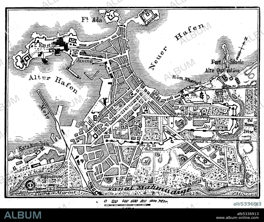
Map of Alexandria in Egypt in 1880 / Plan von Alexandria in Ägypten im Jahre 1880
| Compartir |
|---|
 Pinterest Pinterest |
 Twitter Twitter |
 Facebook Facebook |
 Copiar enlace Copiar enlace |
 Email Email |
|
Añadir a otro lightbox |
|
Añadir a otro lightbox |


¿Ya tienes cuenta? Iniciar sesión
¿No tienes cuenta? Regístrate
Compra esta imagen.
Selecciona el uso:

Título:
Map of Alexandria in Egypt in 1880 / Plan von Alexandria in Ägypten im Jahre 1880
Descripción:
Ver traducción automática
Map of Alexandria in Egypt in 1880 / Plan von Alexandria in Ägypten im Jahre 1880, Historisch, historical, digital improved reproduction of an original from the 19th century / digitale Reproduktion einer Originalvorlage aus dem 19. Jahrhundert,.
Crédito:
Album / Universal Images Group / Bildagentur-online / UIG
Autorizaciones:
Modelo: No - Propiedad: No
¿Preguntas relacionadas con los derechos?
¿Preguntas relacionadas con los derechos?
Tamaño imagen:
5000 x 3952 px | 56.5 MB
Tamaño impresión:
42.3 x 33.5 cm | 16.7 x 13.2 in (300 dpi)
Palabras clave:
1880 • ALEJANDRIA • ARCHIVO • ART • ARTE • ARTES • ATLAS • BLANCO • BOCETO • DIBUJO • DIBUJOS • DOCUMENTO • EGIPCIA • EGIPCIAS • EGIPCIO • EGIPTO • FICHERO • GRABADO EN MADERA • HISTORIA • HISTORICAL • HISTÓRICAMENTE • HISTORICO • ILUSTRACIÓN HISTÓRICA • ILUSTRACION • MAPA DE CARRETERAS • MAPA URBANO • MAPA • MESON • NEGRO • PLAN • REPRODUCCION • REPRODUCTION • SIMBOLO • VINTAGE • WHITE • XILOGRAFIA • XILOGRAFÍAS
