alb9203173
World Map with Equator and Hottest Places
| Compartir |
|---|
 Pinterest Pinterest |
 Twitter Twitter |
 Facebook Facebook |
 Copiar enlace Copiar enlace |
 Email Email |
|
Añadir a otro lightbox |
|
Añadir a otro lightbox |


¿Ya tienes cuenta? Iniciar sesión
¿No tienes cuenta? Regístrate
Compra esta imagen.
Selecciona el uso:

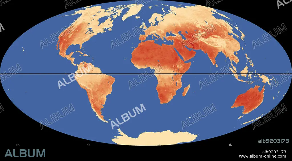
Título: World Map with Equator and Hottest Places
Descripción: Ver traducción automática
Outline of world map, showing the hottest places (in red) relative to the equator (in black).
Outline of world map, showing the hottest places (in red) relative to the equator (in black).
Crédito: Album / Science Source / Jessica Wilson/NASA
Autorizaciones: ? Cesión de modelo: No - ? Cesión de propiedad: No
¿Preguntas relacionadas con los derechos?
¿Preguntas relacionadas con los derechos?
Tamaño imagen: 4500 × 2249 px | 29.0 MB
Tamaño impresión: 38.1 × 19.0 cm | 1771.7 × 885.4 in (300 dpi)
Palabras clave: ARTE • CERO • CLIMA • CONTINENTE • DESIERTO • ESQUEMA • FLOTA • GRADOS • GRAFICO • INFOGRAFÍA • LATITUD • LUGAR • LUGARES • MAPA • MAR • MARINA • MARINE • METEOROLOGÍA • METEREOLOGIA • METEREOLÓGICOS • MUNDIAL • MUNDO • OCEANO • ORDENADOR • PLANETA TIERRA • SEA • TEMPERATURA
