alb5675993
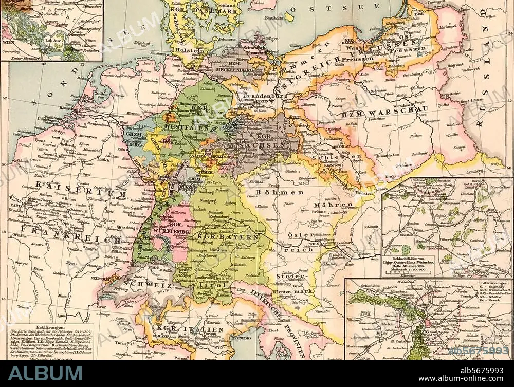
Map of Germany 1813-15
| Compartir |
|---|
 Pinterest Pinterest |
 Twitter Twitter |
 Facebook Facebook |
 Copiar enlace Copiar enlace |
 Email Email |
|
Añadir a otro lightbox |
|
Añadir a otro lightbox |


¿Ya tienes cuenta? Iniciar sesión
¿No tienes cuenta? Regístrate
Compra esta imagen

Título:
Map of Germany 1813-15
Descripción:
Ver traducción automática
Germany, maps. "Germany at the time of the wars of liberation". (Map showing political boundaries 1813-15). Colour print.
Técnica/material:
ESTAMPADO
Crédito:
Album / akg-images
Autorizaciones:
Modelo: No - Propiedad: No
¿Preguntas relacionadas con los derechos?
¿Preguntas relacionadas con los derechos?
Tamaño imagen:
3364 x 2354 px | 22.7 MB
Tamaño impresión:
28.5 x 19.9 cm | 11.2 x 7.8 in (300 dpi)
