alb15422881
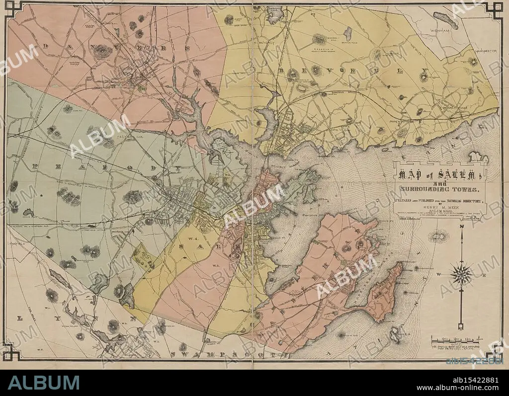
Map of Salem and surrounding towns, 1884, Date Issued: 1884, Place: Salem, Mass., Publisher: Henry M. Meek, Salem (Mass.), Essex County (Mass.), Massachusetts, Essex County, Massachusetts, Salem, Extent: 1 map: hand colored, 75 x 105 cm, on sheet 81 x 111 cm, Village streets unwind, Red brick paths to distant seas, Salem's secret lies.
| Compartir |
|---|
 Pinterest Pinterest |
 Twitter Twitter |
 Facebook Facebook |
 Copiar enlace Copiar enlace |
 Email Email |
|
Añadir a otro lightbox |
|
Añadir a otro lightbox |


¿Ya tienes cuenta? Iniciar sesión
¿No tienes cuenta? Regístrate
Compra esta imagen.
Selecciona el uso:

Descripción:
Ver traducción automática
Map of Salem and surrounding towns, 1884, Date Issued: 1884, Place: Salem, Mass., Publisher: Henry M. Meek, Salem (Mass.), Essex County (Mass.), Massachusetts, Essex County, Massachusetts, Salem, Extent: 1 map: hand colored, 75 x 105 cm, on sheet 81 x 111 cm, Village streets unwind, Red brick paths to distant seas, Salem's secret lies.
Personas:
Crédito:
Album / quintlox
Autorizaciones:
Modelo: No - Propiedad: No
¿Preguntas relacionadas con los derechos?
¿Preguntas relacionadas con los derechos?
Tamaño imagen:
5200 x 3778 px | 56.2 MB
Tamaño impresión:
44.0 x 32.0 cm | 17.3 x 12.6 in (300 dpi)
