alb5271642
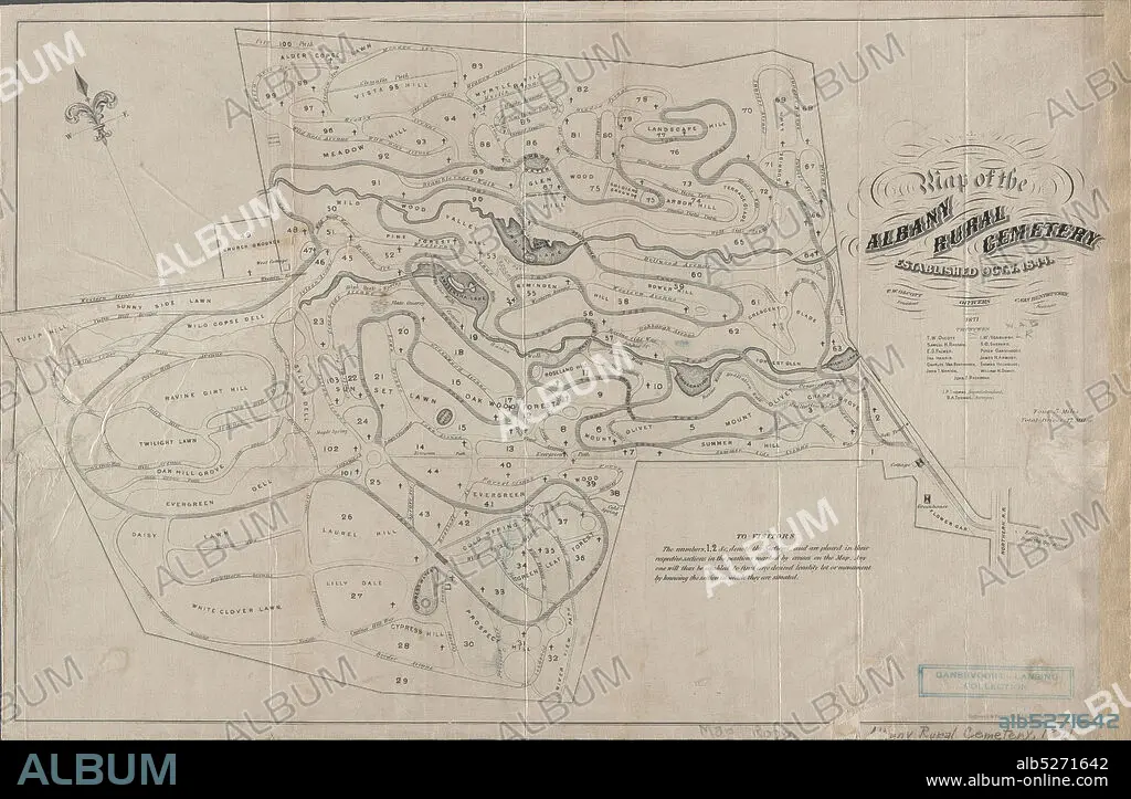
Map of the Albany Rural Cemetery, established, Oct. 7 1844, cartographic, Maps, 1871, Van Benthuysen, C. (Charles), 1817-1881, Thomas, J. P., Thomas, B. A., Gavit, John E., 1817-1874.
| Compartir |
|---|
 Pinterest Pinterest |
 Twitter Twitter |
 Facebook Facebook |
 Copiar enlace Copiar enlace |
 Email Email |
|
Añadir a otro lightbox |
|
Añadir a otro lightbox |


¿Ya tienes cuenta? Iniciar sesión
¿No tienes cuenta? Regístrate
Compra esta imagen.
Selecciona el uso:

Descripción:
Ver traducción automática
Map of the Albany Rural Cemetery, established, Oct. 7 1844, cartographic, Maps, 1871, Van Benthuysen, C. (Charles), 1817-1881, Thomas, J. P., Thomas, B. A., Gavit, John E., 1817-1874
Crédito:
Album / quintlox
Autorizaciones:
Modelo: No - Propiedad: No
¿Preguntas relacionadas con los derechos?
¿Preguntas relacionadas con los derechos?
Tamaño imagen:
6300 x 4119 px | 74.2 MB
Tamaño impresión:
53.3 x 34.9 cm | 21.0 x 13.7 in (300 dpi)
