alb9840143
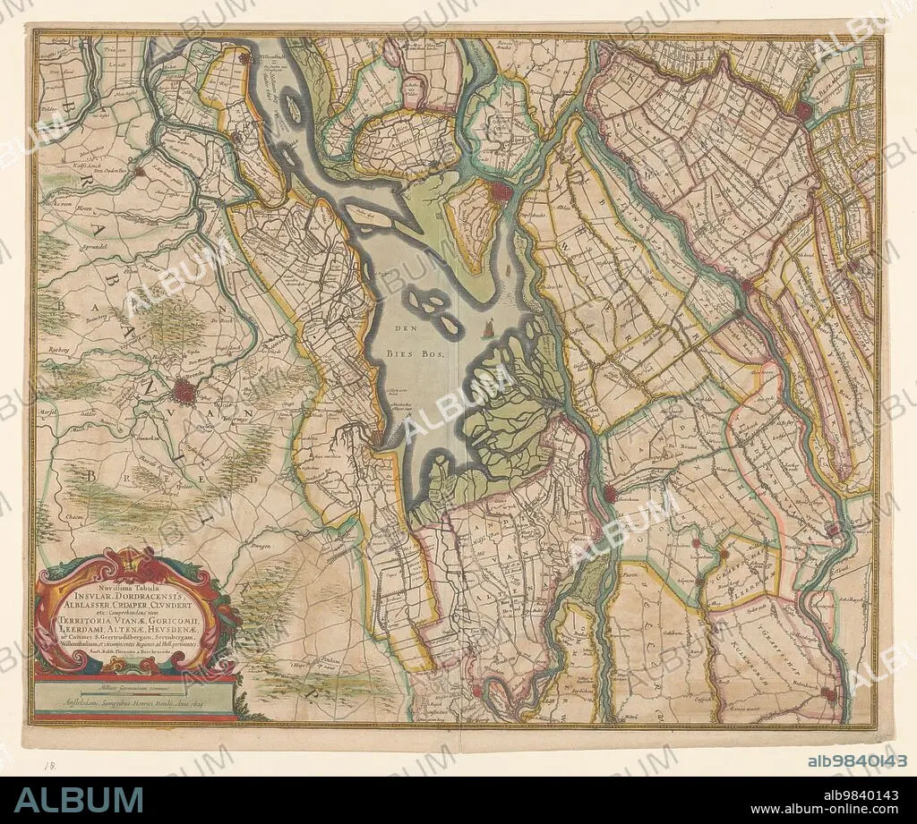
BALTHASAR FLORISZ. VAN BERCKENRODE. Map of parts of North Brabant, South Holland and Gelderland, 1629. Creator: Balthasar Florisz. van Berckenrode.
| Compartir |
|---|
 Pinterest Pinterest |
 Twitter Twitter |
 Facebook Facebook |
 Copiar enlace Copiar enlace |
 Email Email |
|
Añadir a otro lightbox |
|
Añadir a otro lightbox |


¿Ya tienes cuenta? Iniciar sesión
¿No tienes cuenta? Regístrate
Compra esta imagen.
Selecciona el uso:

Título:
Map of parts of North Brabant, South Holland and Gelderland, 1629. Creator: Balthasar Florisz. van Berckenrode.
Descripción:
Ver traducción automática
Map of parts of North Brabant, South Holland and Gelderland, 1629. The surroundings of the Bies Bos, sailing ship. Bottom left a cartouche with the title with the scale in German miles (1: 100,000).
Técnica/material:
AGUAFUERTE
Crédito:
Album / Heritage Art/Heritage Images
Autorizaciones:
Tamaño imagen:
5056 x 4284 px | 62.0 MB
Tamaño impresión:
42.8 x 36.3 cm | 16.9 x 14.3 in (300 dpi)
Palabras clave:
ACUARELA • AGUAFUERTE • ARTE • ARTES • BALTHASAR FLORISZ. VAN BERCKENRODE • BRABANTE • COLOR • COLORIDO • EUROPA • GEOGRAFIA • GRABADO • GÜELDRES • HOLANDES • LAGO • MAPA • MUSEO • PAISES BAJOS • PAPEL • RIJKSMUSEUM • SIGLO XVII • SIGLO
