alb3355248
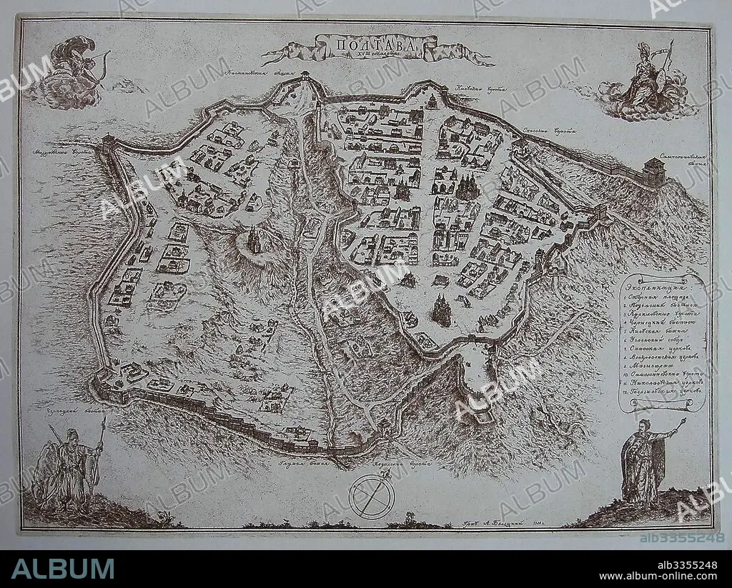
ANONIMO. Map of Poltava in the early 18th-century.
| Compartir |
|---|
 Pinterest Pinterest |
 Twitter Twitter |
 Facebook Facebook |
 Copiar enlace Copiar enlace |
 Email Email |
|
Añadir a otro lightbox |
|
Añadir a otro lightbox |


¿Ya tienes cuenta? Iniciar sesión
¿No tienes cuenta? Regístrate
Compra esta imagen.
Selecciona el uso:

Autor:
Descripción:
Ver traducción automática
Map of Poltava in the early 18th-century
Técnica/material:
TECNICA DE GRABADO AGUA FUERTE
Museo:
State Open-air Museum "Battle of Poltava", Poltava
Crédito:
Album / Fine Art Images
Autorizaciones:
Modelo: No - Propiedad: No
¿Preguntas relacionadas con los derechos?
¿Preguntas relacionadas con los derechos?
Tamaño imagen:
4399 x 3307 px | 41.6 MB
Tamaño impresión:
37.2 x 28.0 cm | 14.7 x 11.0 in (300 dpi)
Palabras clave:
