alb1650398
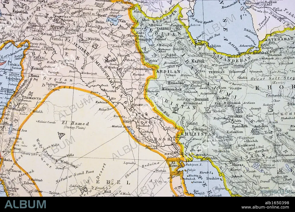
Partial map of Turkey Kurdistan Iraq Persia Middle East in 1890s From The Citizen's Atlas of the World published London circa 1899.
| Compartir |
|---|
 Pinterest Pinterest |
 Twitter Twitter |
 Facebook Facebook |
 Copiar enlace Copiar enlace |
 Email Email |
|
Añadir a otro lightbox |
|
Añadir a otro lightbox |


¿Ya tienes cuenta? Iniciar sesión
¿No tienes cuenta? Regístrate
Compra esta imagen.
Selecciona el uso:

Descripción:
Ver traducción automática
Partial map of Turkey Kurdistan Iraq Persia Middle East in 1890s From The Citizen's Atlas of the World published London circa 1899
Crédito:
Album / Universal History Archive/Universal Images Group
Autorizaciones:
Tamaño imagen:
5457 x 3638 px | 56.8 MB
Tamaño impresión:
46.2 x 30.8 cm | 18.2 x 12.1 in (300 dpi)
