alb5277953
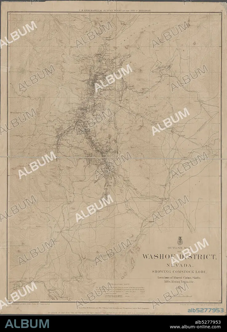
Outline map of Washoe District, Nevada , cartographic, Maps, 1879, Geographical Surveys West of the 100th Meridian (U.S.), Bien, Julius, 1826-1909, Wheeler, George M. (George Montague), 1842-1905, United States. Army. Corps of Engineers.
| Compartir |
|---|
 Pinterest Pinterest |
 Twitter Twitter |
 Facebook Facebook |
 Copiar enlace Copiar enlace |
 Email Email |
|
Añadir a otro lightbox |
|
Añadir a otro lightbox |


¿Ya tienes cuenta? Iniciar sesión
¿No tienes cuenta? Regístrate
Compra esta imagen.
Selecciona el uso:

Descripción:
Ver traducción automática
Outline map of Washoe District, Nevada , cartographic, Maps, 1879, Geographical Surveys West of the 100th Meridian (U.S.), Bien, Julius, 1826-1909, Wheeler, George M. (George Montague), 1842-1905, United States. Army. Corps of Engineers
Crédito:
Album / quintlox
Autorizaciones:
Modelo: No - Propiedad: No
¿Preguntas relacionadas con los derechos?
¿Preguntas relacionadas con los derechos?
Tamaño imagen:
4322 x 6000 px | 74.2 MB
Tamaño impresión:
36.6 x 50.8 cm | 14.4 x 20.0 in (300 dpi)
Palabras clave:
1842-1905 • 1879 • CARTOGRAFICO • ESTADOUNIDENSE • ESTADOUNIDENSES • JULIUS • MAPA • NORTEAMERICANA • NORTEAMERICANAS • NORTEAMERICANOS
