alb4079231
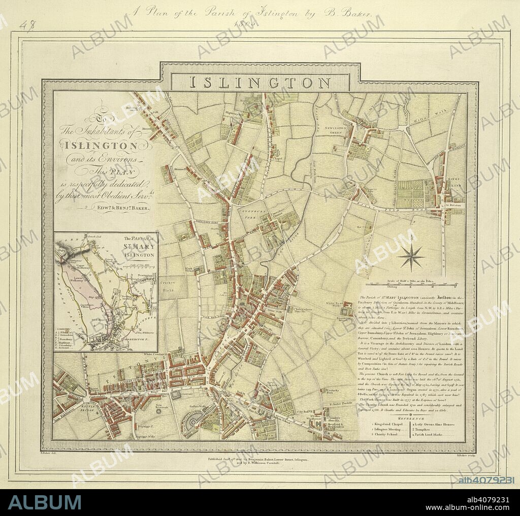
BENJAMIN BAKER. Map of the borough of Islington with inset plan of the parish of St Mary's on the left of the plate and note giving information about the borough down the right side of the plate. The plan shows the New River, a man made water course supplying London with fresh water from Hertfordshire. . Map of the borough of Islington. 1805. Source: Maps Crace Port 15.48.

|
Añadir a otro lightbox |
|
Añadir a otro lightbox |


¿Ya tienes cuenta? Iniciar sesión
¿No tienes cuenta? Regístrate
Compra esta imagen.
Selecciona el uso:

Autor:
Descripción:
Ver traducción automática
Map of the borough of Islington with inset plan of the parish of St Mary's on the left of the plate and note giving information about the borough down the right side of the plate. The plan shows the New River, a man made water course supplying London with fresh water from Hertfordshire. . Map of the borough of Islington. 1805. Source: Maps Crace Port 15.48.
Crédito:
Album / British Library
Autorizaciones:
Tamaño imagen:
4428 x 4167 px | 52.8 MB
Tamaño impresión:
37.5 x 35.3 cm | 14.8 x 13.9 in (300 dpi)
Palabras clave:
ALBION • BAKER, BENJAMIN • CARTOGRAFIA • CARTOGRAFICO • COLOR • COLORES • COLORIDO • EUROPA OCCIDENTAL • EUROPA • GRAN BRETAÑA • INGLATERRA • ISLAS BRITANICAS • LONDON • LONDRES • MAPA • MAPAS • REINO UNIDO • S. XIX • SIGLO XIX


 Pinterest
 Twitter
 Facebook
 Copiar enlace
 Email
Email
