alb3548831
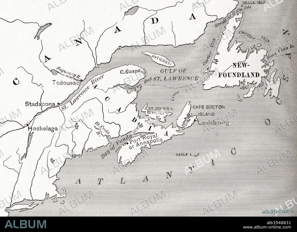
Map of Acadia, 17th century colony of New France in northeastern North America, and the water highway to Canada
| Compartir |
|---|
 Pinterest Pinterest |
 Twitter Twitter |
 Facebook Facebook |
 Copiar enlace Copiar enlace |
 Email Email |
|
Añadir a otro lightbox |
|
Añadir a otro lightbox |


¿Ya tienes cuenta? Iniciar sesión
¿No tienes cuenta? Regístrate
Compra esta imagen.
Selecciona el uso:

Título:
Map of Acadia, 17th century colony of New France in northeastern North America, and the water highway to Canada
Descripción:
Ver traducción automática
Map of Acadia, 17th century colony of New France in northeastern North America, and the water highway to Canada. From The History of Our Country, published 1899
Crédito:
Album / Universal Images Group / Universal History Archive
Autorizaciones:
Tamaño imagen:
5075 x 3690 px | 53.6 MB
Tamaño impresión:
43.0 x 31.2 cm | 16.9 x 12.3 in (300 dpi)
Palabras clave:
ACADIA • AGUA • AMERICA • AMERICAN • AMERICANA • AMERICANO • AMERICANOS • AUTOPISTA • AUTOVÍA • CANADA • COLONIA (TERRITORIO) • CONTINENTE AMERICANO • EEUU / ESTADOS UNIDOS • ESTADOS UNIDOS • ESTADOUNIDENSE • ESTADOUNIDENSES • FRANCES • FRANCESAS • FRANCESES • GEOGRAFIA • GEOGRAFICO • GRAFICO • MAPA • NORESTE • NORTE • NORTEAMERICANA • NORTEAMERICANAS • NORTEAMERICANOS • NUEVA FRANCIA • PAÍS • PAISES • SIGLO XVII • SIGLO • XVII
