alb9508142
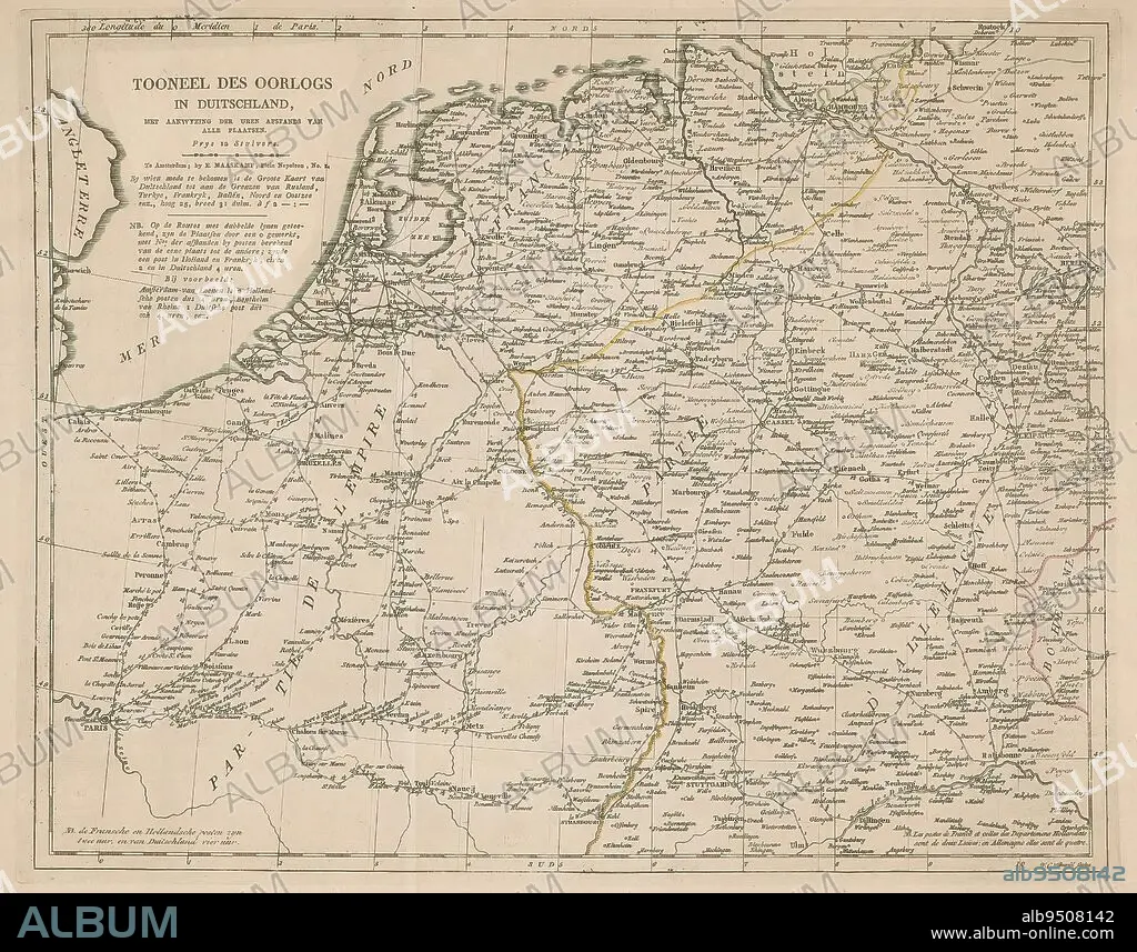
Map of Germany, Holland and Northern France, Tooneel des war in Duitschland (title on object), Map of Germany, Holland and Northern France, with the distance between the cities in hours., print maker: Willem Cornelis van Baarsel, (mentioned on object), publisher: Evert Maaskamp, (mentioned on object), Amsterdam, 1806 - 1813, paper, engraving, height 340 mm × width 426 mm.
| Compartir |
|---|
 Pinterest Pinterest |
 Twitter Twitter |
 Facebook Facebook |
 Copiar enlace Copiar enlace |
 Email Email |
|
Añadir a otro lightbox |
|
Añadir a otro lightbox |


¿Ya tienes cuenta? Iniciar sesión
¿No tienes cuenta? Regístrate
Compra esta imagen

Descripción:
Ver traducción automática
Map of Germany, Holland and Northern France, Tooneel des war in Duitschland (title on object), Map of Germany, Holland and Northern France, with the distance between the cities in hours., print maker: Willem Cornelis van Baarsel, (mentioned on object), publisher: Evert Maaskamp, (mentioned on object), Amsterdam, 1806 - 1813, paper, engraving, height 340 mm × width 426 mm
Crédito:
Album / quintlox
Autorizaciones:
Modelo: No - Propiedad: No
¿Preguntas relacionadas con los derechos?
¿Preguntas relacionadas con los derechos?
Tamaño imagen:
3764 x 2955 px | 31.8 MB
Tamaño impresión:
31.9 x 25.0 cm | 12.5 x 9.8 in (300 dpi)
