alb3511781
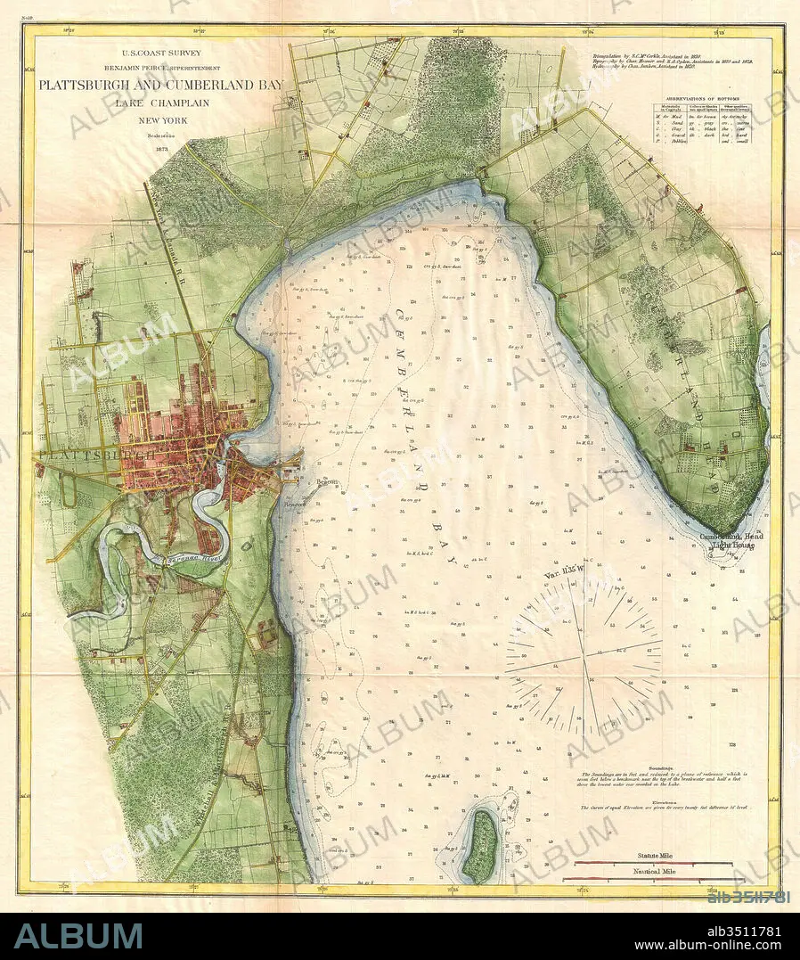
1872, U.S. Coast Survey Map of Plattsburgh and Lake Champlain, New York.
| Compartir |
|---|
 Pinterest Pinterest |
 Twitter Twitter |
 Facebook Facebook |
 Copiar enlace Copiar enlace |
 Email Email |
|
Añadir a otro lightbox |
|
Añadir a otro lightbox |


¿Ya tienes cuenta? Iniciar sesión
¿No tienes cuenta? Regístrate
Compra esta imagen

Descripción:
Ver traducción automática
1872, U.S. Coast Survey Map of Plattsburgh and Lake Champlain, New York
Crédito:
Album / quintlox
Autorizaciones:
Modelo: No - Propiedad: No
¿Preguntas relacionadas con los derechos?
¿Preguntas relacionadas con los derechos?
Tamaño imagen:
4560 x 5202 px | 67.9 MB
Tamaño impresión:
38.6 x 44.0 cm | 15.2 x 17.3 in (300 dpi)
Palabras clave:
1872 • ANTIGUO • ANTIGUOS • ART • ARTE • ARTES • ATLAS • CARTOGRAFIA • CIUDAD LAS VEGAS • CUADRICULA • DECORATIVO • DESCUBRIMIENTO • EDAD • ESPACIAL • ESPACIALES • ESPACIO • ESTILO RETRO • EXPLORACION • GEOGRAFIA • GEOGRAFICA • GEOGRAFICO • GEOMETRIC • GEOMETRICAL • GEOMETRICO • GRAFICO • HISTORIA • HISTORICAL • HISTORICO • ILUSTRACION • LATITUD • LONGITUD (COORDENADAS) • MAPA ANTIGUO • MAPA • MAPAS ANTIGUOS RAROS • MAPPA MUNDI • MUNDO • NAVEGACION • NEOYORQUINA • NEOYORQUINOS • NEW YORK • NUEVA YORK CIUDAD • NUEVA YORK • PAPEL • PLANO ANTIGUO • REGION • TIERRA (TERRENO) • TIERRA • TOPOGRAFIA • VIAJE • VINTAGE
