alb5092835
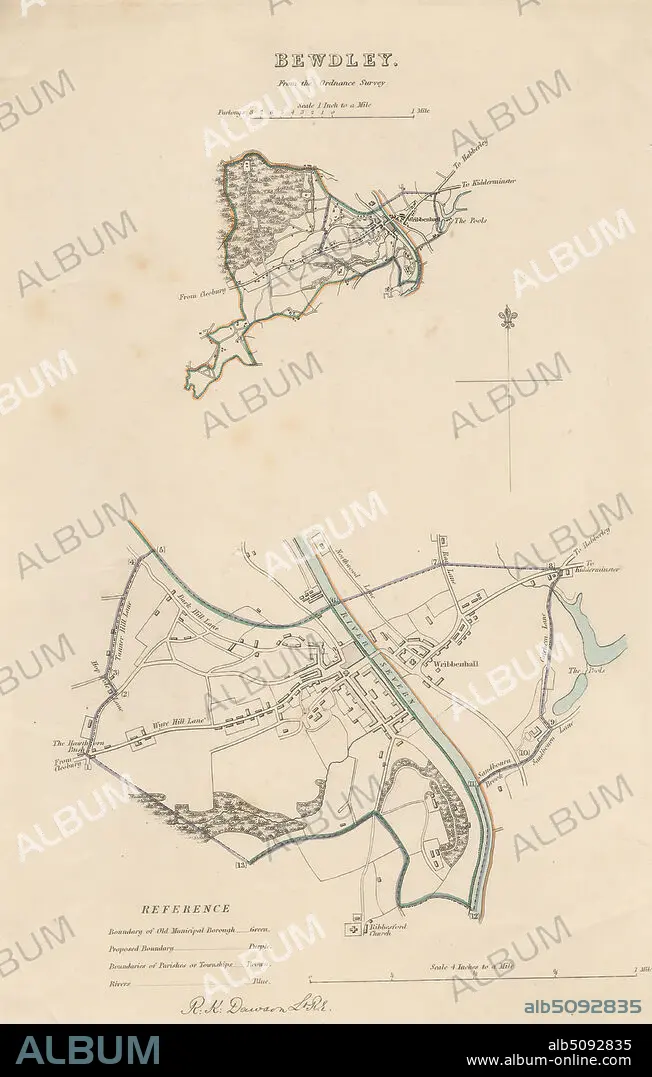
Map of Bewdley from the Ordnance Survey, Print made by Robert Kearsley Dawson, 17981861, British, undated, Etching with hand coloring on moderately thick, slightly textured, cream wove paper, Sheet: 13 9/16 x 8 7/16 inches (34.4 x 21.4 cm) and Image: 10 3/4 x 7 inches (27.3 x 17.8 cm), architectural subject, boundaries, cartographic material, cartography, key (text), map, river, scale (rule), still life, streets, town, Bewdley, England, Hereford and Worcester, Severn, United Kingdom.
| Compartir |
|---|
 Pinterest Pinterest |
 Twitter Twitter |
 Facebook Facebook |
 Copiar enlace Copiar enlace |
 Email Email |
|
Añadir a otro lightbox |
|
Añadir a otro lightbox |


¿Ya tienes cuenta? Iniciar sesión
¿No tienes cuenta? Regístrate
Compra esta imagen.
Selecciona el uso:

Descripción:
Ver traducción automática
Map of Bewdley from the Ordnance Survey, Print made by Robert Kearsley Dawson, 17981861, British, undated, Etching with hand coloring on moderately thick, slightly textured, cream wove paper, Sheet: 13 9/16 x 8 7/16 inches (34.4 x 21.4 cm) and Image: 10 3/4 x 7 inches (27.3 x 17.8 cm), architectural subject, boundaries, cartographic material, cartography, key (text), map, river, scale (rule), still life, streets, town, Bewdley, England, Hereford and Worcester, Severn, United Kingdom
Crédito:
Album / quintlox
Autorizaciones:
Tamaño imagen:
3177 x 4992 px | 45.4 MB
Tamaño impresión:
26.9 x 42.3 cm | 10.6 x 16.6 in (300 dpi)
Palabras clave:
BRITANICA • BRITANICO • BRITANICOS • CALLES • CARTOGRAFIA • CIUDAD • ESCALA • FLUVIAL • GRABADO • GRAN BRETAÑA • IMAGEN • IMPRESION • INGLATERRA • LLAVE • MAPA • MAPAS • REINO UNIDO • RIO • RIVER • SÁBANA • TEXTO • VIDA
