alb5298509
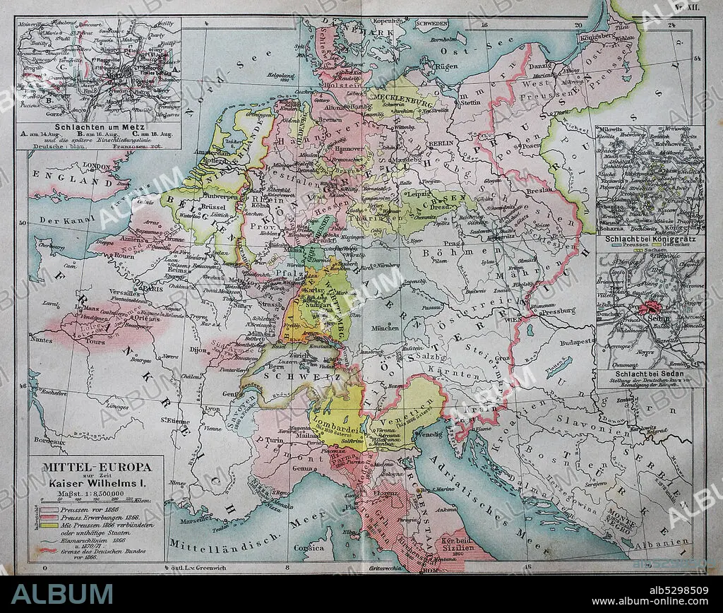
Historical map of central Europe from the time of emperor Wilhelm I. / Historische Landkarte von Mitteleuropa zur Zeit von Kaiser Wilhelm I.
| Compartir |
|---|
 Pinterest Pinterest |
 Twitter Twitter |
 Facebook Facebook |
 Copiar enlace Copiar enlace |
 Email Email |
|
Añadir a otro lightbox |
|
Añadir a otro lightbox |


¿Ya tienes cuenta? Iniciar sesión
¿No tienes cuenta? Regístrate
Compra esta imagen.
Selecciona el uso:

Título:
Historical map of central Europe from the time of emperor Wilhelm I. / Historische Landkarte von Mitteleuropa zur Zeit von Kaiser Wilhelm I.
Descripción:
Ver traducción automática
Historical map of central Europe from the time of emperor Wilhelm I. / Historische Landkarte von Mitteleuropa zur Zeit von Kaiser Wilhelm I..
Crédito:
Album / Universal Images Group / Bildagentur-online
Autorizaciones:
Modelo: No - Propiedad: No
¿Preguntas relacionadas con los derechos?
¿Preguntas relacionadas con los derechos?
Tamaño imagen:
3608 x 2872 px | 29.6 MB
Tamaño impresión:
30.5 x 24.3 cm | 12.0 x 9.6 in (300 dpi)
