alb4193261
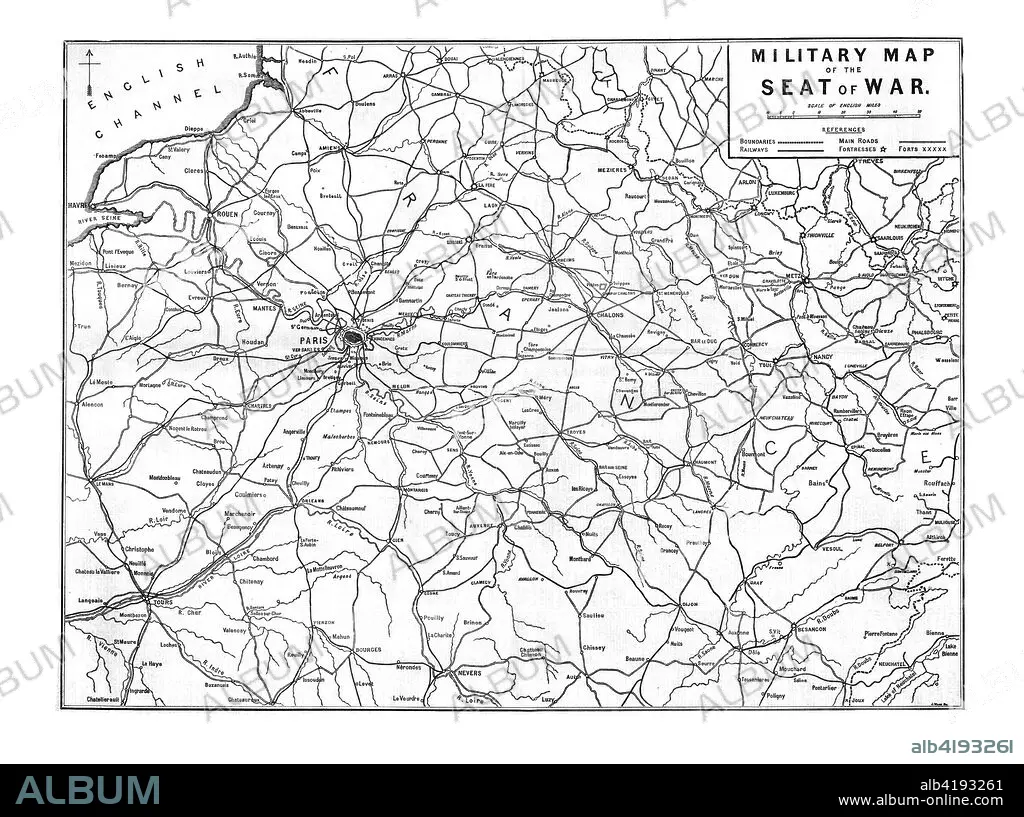
'Military Map of the Seat of War', 1870. Artist: Unknown.
| Compartir |
|---|
 Pinterest Pinterest |
 Twitter Twitter |
 Facebook Facebook |
 Copiar enlace Copiar enlace |
 Email Email |
|
Añadir a otro lightbox |
|
Añadir a otro lightbox |


¿Ya tienes cuenta? Iniciar sesión
¿No tienes cuenta? Regístrate
Compra esta imagen

Título:
'Military Map of the Seat of War', 1870. Artist: Unknown.
Descripción:
Ver traducción automática
'Military Map of the Seat of War', 1870. Map showing northern France, including Paris and the English Channel, during the Franco-Prussian War, (1870-1871). From The Times, 15 November 1870.
Crédito:
Album / Heritage Images / The Print Collector
Autorizaciones:
Modelo: No - Propiedad: No
¿Preguntas relacionadas con los derechos?
¿Preguntas relacionadas con los derechos?
Tamaño imagen:
8100 x 6040 px | 140.0 MB
Tamaño impresión:
68.6 x 51.1 cm | 27.0 x 20.1 in (300 dpi)
Palabras clave:
BLANCO Y NEGRO • BRITANICO • CANAL DE LA MANCHA • CONCEPTO • FRANCIA • GEOGRAFIA • GRAN BRETAÑA • GUERRA FRANCO-PRUSIANA • GUERRA • MAPA • MAR • MILITAR • MONOCHROME • MONOCROMO • PAÍS • PARIS • SIGLO XIX • SIGLO
