alb9833555
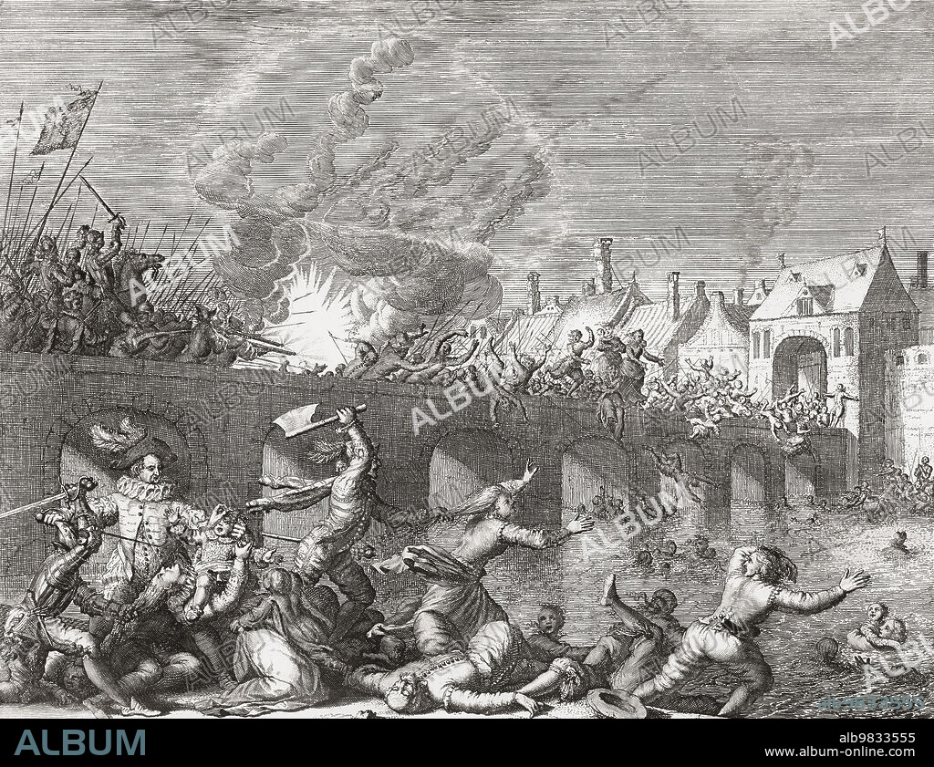
A map of ancient Athens, Greece, showing the location of ruins. From an engraving dated 1832 by J. Hershall after a drawing by William Barnard Clarke.

|
Añadir a otro lightbox |
|
Añadir a otro lightbox |


¿Ya tienes cuenta? Iniciar sesión
¿No tienes cuenta? Regístrate
Compra esta imagen

Descripción:
Ver traducción automática
A map of ancient Athens, Greece, showing the location of ruins. From an engraving dated 1832 by J. Hershall after a drawing by William Barnard Clarke.
Crédito:
Album / Ken Welsh/Universal History Archive/Universal Images Group
Autorizaciones:
Modelo: No - Propiedad: No
¿Preguntas relacionadas con los derechos?
¿Preguntas relacionadas con los derechos?
Tamaño imagen:
5232 x 4026 px | 60.3 MB
Tamaño impresión:
44.3 x 34.1 cm | 17.4 x 13.4 in (300 dpi)
Palabras clave:
1579 • AGUAFUERTE • ARCHIVO • DIBUJO • DOCUMENTO • ENGRAVING • ESCAPAR • EVASION • FICHERO • FUGA • GRABADO • GRABADOS • GUERRERO • HISTORIA • HISTORICO • HUIDA • ILUSTRACION • IMPRESION • JAN LUYKEN • MAASTRICHT • PAISES BAJOS • PERIODO • PONTE • PUENTE • S. XVI • SIGLO XVI • SOLDADO • SOLDADOS • VINTAGE
 Pinterest
 Twitter
 Facebook
 Copiar enlace
 Email
Email
