alb4844505
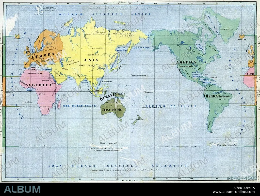
PLANISFERO or general prospectus of the globe. The emerged lands do not highlight the reliefs, but only the main hydrographic indications, are chromatically distinct in the five continents, and although there is no border line the names of the political / geographical areas are reported. Detail of the paper from table IV, from 'La Geografia at a glance', Lithograph Corbetta, Milan,1853.
| Compartir |
|---|
 Pinterest Pinterest |
 Twitter Twitter |
 Facebook Facebook |
 Copiar enlace Copiar enlace |
 Email Email |
|
Añadir a otro lightbox |
|
Añadir a otro lightbox |


¿Ya tienes cuenta? Iniciar sesión
¿No tienes cuenta? Regístrate
Compra esta imagen.
Selecciona el uso:

Título: PLANISFERO or general prospectus of the globe. The emerged lands do not highlight the reliefs, but only the main hydrographic indications, are chromatically distinct in the five continents, and although there is no border line the names of the political / geographical areas are reported. Detail of the paper from table IV, from 'La Geografia at a glance', Lithograph Corbetta, Milan,1853.
Descripción: Ver traducción automática
PLANISFERO or general prospectus of the globe. The emerged lands do not highlight the reliefs, but only the main hydrographic indications, are chromatically distinct in the five continents, and although there is no border line the names of the political / geographical areas are reported. Detail of the paper from table IV, from 'La Geografia at a glance', Lithograph Corbetta, Milan, 1853.
PLANISFERO or general prospectus of the globe. The emerged lands do not highlight the reliefs, but only the main hydrographic indications, are chromatically distinct in the five continents, and although there is no border line the names of the political / geographical areas are reported. Detail of the paper from table IV, from 'La Geografia at a glance', Lithograph Corbetta, Milan, 1853.
Crédito: Album / Fototeca Gilardi/Universal Images Group
Autorizaciones: ? Cesión de modelo: No - ? Cesión de propiedad: No
¿Preguntas relacionadas con los derechos?
¿Preguntas relacionadas con los derechos?
Tamaño imagen: 4961 × 3493 px | 49.6 MB
Tamaño impresión: 42.0 × 29.6 cm | 1953.1 × 1375.2 in (300 dpi)
Palabras clave: CARTOGRAFIA • GEOGRAFIA • ITALIA • ITALY • MAPA DEL MUNDO • MAPA MUNDI • MAPAMUNDI
