alb5404375
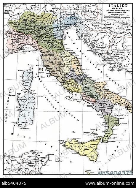
Historic illustration, map of Italy frome the times of Emperor Augustus, 1st Century, 19th century, Meyers Konversations-Lexikon encyclopedia, 1889.
| Compartir |
|---|
 Pinterest Pinterest |
 Twitter Twitter |
 Facebook Facebook |
 Copiar enlace Copiar enlace |
 Email Email |
|
Añadir a otro lightbox |
|
Añadir a otro lightbox |


¿Ya tienes cuenta? Iniciar sesión
¿No tienes cuenta? Regístrate
Compra esta imagen.
Selecciona el uso:

Descripción:
Ver traducción automática
Historic illustration, map of Italy frome the times of Emperor Augustus, 1st Century, 19th century, Meyers Konversations-Lexikon encyclopedia, 1889
Crédito:
Album / ImageBroker / H.-D. Falkenstein
Autorizaciones:
Modelo: No - Propiedad: No
¿Preguntas relacionadas con los derechos?
¿Preguntas relacionadas con los derechos?
Tamaño imagen:
459 x 600 px | 806.8 KB
Tamaño impresión:
3.9 x 5.1 cm | 1.5 x 2.0 in (300 dpi)
Palabras clave:
BOCETO • CARTAS • CUADRO • CUADROS • DIBUJO • DIBUJOS • EDAD • EMPERADOR • ENCICLOPEDIA • EUROPA • FIGURA • GEOGRAFIA • GEOGRAFICA • GEOGRAFICO • HISTORIA • HISTORICO • ILUSTRACION • ITALIA • LABOR • LIBRO DE REFERENCIA • LIBRO • LIBROS • MAPA DE CARRETERAS • MAPA • OCTAVIO • PINTURA • PINTURAS • REPRESENTACIONES • SIGLO XIX • TARJETA • TARJETAS • TRABAJANDO • TRABAJO
