alb5583711
Tenerife / Map / c. 1900
| Compartir |
|---|
 Pinterest Pinterest |
 Twitter Twitter |
 Facebook Facebook |
 Copiar enlace Copiar enlace |
 Email Email |
|
Añadir a otro lightbox |
|
Añadir a otro lightbox |


¿Ya tienes cuenta? Iniciar sesión
¿No tienes cuenta? Regístrate
Compra esta imagen.
Selecciona el uso:

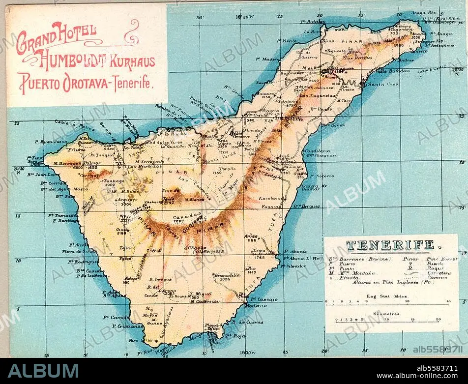
Título: Tenerife / Map / c. 1900
Descripción: Ver traducción automática
Tenerife (Canary Islands). Map of Tenerife. Photo postcard, c. 1900.
Tenerife (Canary Islands). Map of Tenerife. Photo postcard, c. 1900.
Crédito: Album / akg-images
Autorizaciones: ? Cesión de modelo: No - ? Cesión de propiedad: No
¿Preguntas relacionadas con los derechos?
¿Preguntas relacionadas con los derechos?
Tamaño imagen: 3364 × 2572 px | 24.8 MB
Tamaño impresión: 28.5 × 21.8 cm | 1324.4 × 1012.6 in (300 dpi)
Palabras clave: GEOGRAFIA • ISLAS CANARIAS • MAPA • MAPAS • S. XIX • SIGLO XIX • TENERIFE • TOPOGRAFIA
