alb9002886
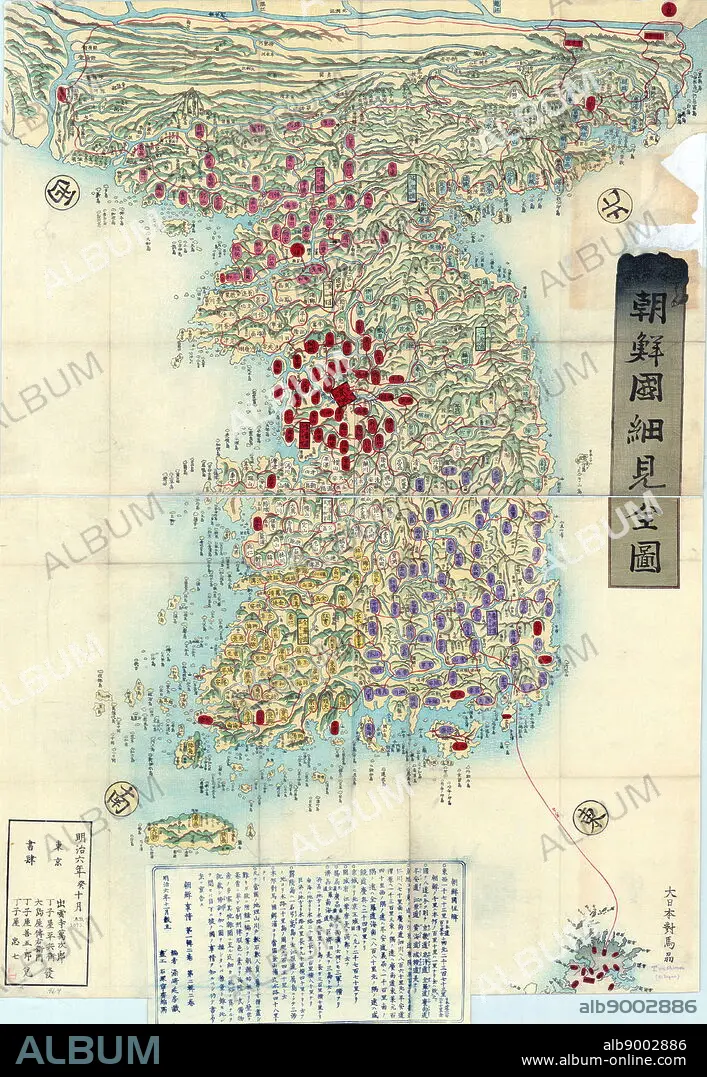
Choson, Map of Joseon Era Korea. Circa 1750 - 1800
| Partager |
|---|
 Pinterest Pinterest |
 Twitter Twitter |
 Facebook Facebook |
 Copier le lien Copier le lien |
 Email Email |
|
Ajouter à une autre Lightbox |
|
Ajouter à une autre Lightbox |


Avez-vous déjà un compte? S'identifier
Vous n'avez pas de compte ? S'inscrire
Acheter cette image.
Sélectionnez l'usage:

Légende: Voir la traduction automatique
Choson, Map of Joseon Era Korea. Circa 1750 - 1800
Choson, Map of Joseon Era Korea. Circa 1750 - 1800
Crédit: Album / World History Archive
Autorisations: ? Autorisation de modèle: Non - ? Autorisation de propriété: Non
Questions sur les droits?
Questions sur les droits?
Taille de l'image: 3805 × 5511 px | 60.0 MB
Taille d'impression: 32.2 × 46.7 cm | 1498.0 × 2169.7 in (300 dpi)
Mots clés: 18 18E 18EME XVIII XVIIIE XVIIIEME SIECLE • 18E SIECLE • 18EME S • CARTE • CARTOGRAPHIE • COREE • DIX-HUITIÈME SIÈCLE • GEOGRAPHIE • SCIENCE: CARTOGRAPHIE • XVIIIE SIECLE
