alb2009567
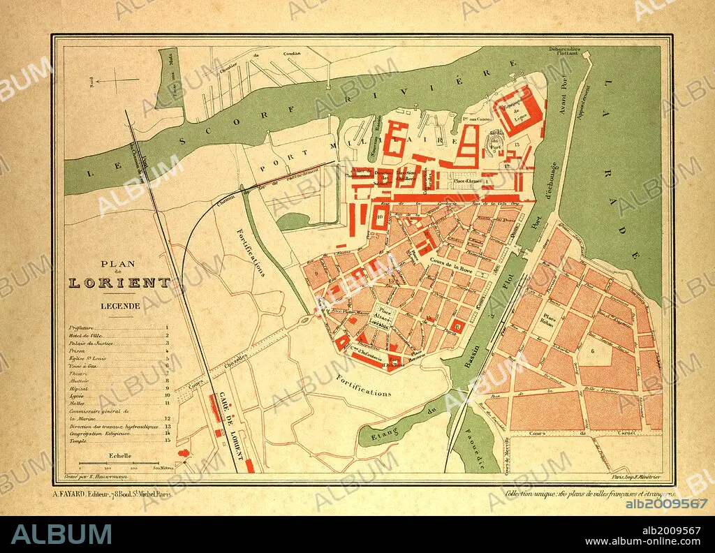
MAP OF LORIENT, FRANCE.
| Partager |
|---|
 Pinterest Pinterest |
 Twitter Twitter |
 Facebook Facebook |
 Copier le lien Copier le lien |
 Email Email |
|
Ajouter à une autre Lightbox |
|
Ajouter à une autre Lightbox |


Avez-vous déjà un compte? S'identifier
Vous n'avez pas de compte ? S'inscrire
Acheter cette image

Légende:
Voir la traduction automatique
MAP OF LORIENT, FRANCE
Crédit:
Album / quintlox
Autorisations:
Modèle: Non - Propriété: Non
Questions sur les droits?
Questions sur les droits?
Taille de l'image:
5940 x 4284 px | 72.8 MB
Taille d'impression:
50.3 x 36.3 cm | 19.8 x 14.3 in (300 dpi)
Mots clés:
