alb3547383
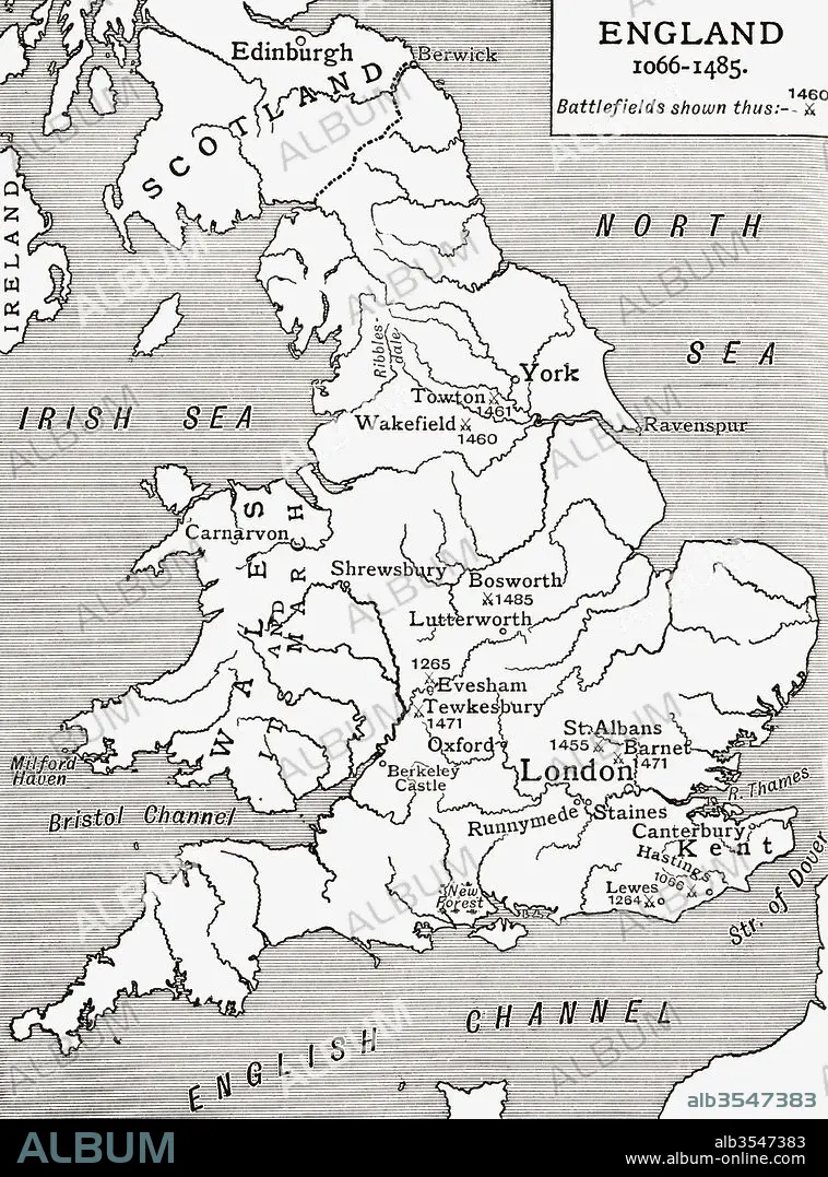
A map of England 1066-1485, battlefields marked with crossed swords
| Partager |
|---|
 Pinterest Pinterest |
 Twitter Twitter |
 Facebook Facebook |
 Copier le lien Copier le lien |
 Email Email |
|
Ajouter à une autre Lightbox |
|
Ajouter à une autre Lightbox |


Avez-vous déjà un compte? S'identifier
Vous n'avez pas de compte ? S'inscrire
Acheter cette image

Titre:
A map of England 1066-1485, battlefields marked with crossed swords
Légende:
Voir la traduction automatique
A map of England 1066 - 1485, battlefields marked with crossed swords. From A First Book of British History published 1925.
Crédit:
Album / Universal Images Group / Universal History Archive
Autorisations:
Modèle: Non - Propriété: Non
Questions sur les droits?
Questions sur les droits?
Taille de l'image:
3602 x 4863 px | 50.1 MB
Taille d'impression:
30.5 x 41.2 cm | 12.0 x 16.2 in (300 dpi)
Mots clés:
ANGLETARRE • ANGLETERE • ANGLETERRE • CARTE (GEOGRAPHIE) • CARTE GEOGRAPHIQUE • CARTE • DESSIN PLANS • ÉPOQUE • GEOGRAPHIE • GRANDE BERTAGNE • GRANDE BRETAGNE • GRANDE-BRETAGNE • HISOIRE • HISTOIRE • INGLATERRA • PLAN (CARTOGRAPHIE) • PLANS • ROYAUME UNI • ROYAUME-UNI
