alb3274266
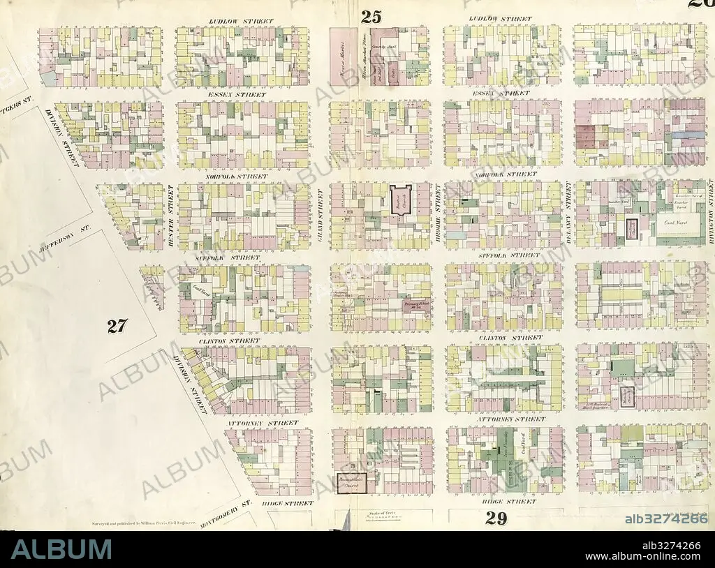
Plate 26: Map bounded by Rivington Street, Ridge Street, Division Street, Canal Street, Ludlow Street. 1857, 1862, Perris and Browne, New York, USA.
| Partager |
|---|
 Pinterest Pinterest |
 Twitter Twitter |
 Facebook Facebook |
 Copier le lien Copier le lien |
 Email Email |
|
Ajouter à une autre Lightbox |
|
Ajouter à une autre Lightbox |


Avez-vous déjà un compte? S'identifier
Vous n'avez pas de compte ? S'inscrire
Acheter cette image

Légende:
Voir la traduction automatique
Plate 26: Map bounded by Rivington Street, Ridge Street, Division Street, Canal Street, Ludlow Street. 1857, 1862, Perris and Browne, New York, USA
Crédit:
Album / quintlox
Autorisations:
Modèle: Non - Propriété: Non
Questions sur les droits?
Questions sur les droits?
Taille de l'image:
6039 x 4490 px | 77.6 MB
Taille d'impression:
51.1 x 38.0 cm | 20.1 x 15.0 in (300 dpi)
Mots clés:
AMERICAIN (ETATS-UNIS) • AMERICAIN (USA) • AMERIQUE • AMERIQUE, CONTINENT • CARTE (GEOGRAPHIE) • CARTE GEOGRAPHIQUE • CARTE • CARTOGRAPHIE • CONTINENT AMERIQUE • DESSIN PLANS • ÉTAS UNIS • ÉTAS-UNIS • ETATS UNIS • ETATS-UNIS • GEOGRAPHIE • NEW YORK • NEW YORK, ETATS-UNIS • NEW-YORK • PLAN (CARTOGRAPHIE) • PLANS • SCIENCE: CARTOGRAPHIE • U. S. A. • ŽTATS-UNIS
