alb4184159
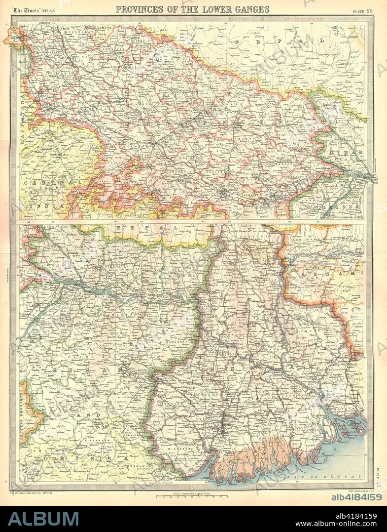
Map of the Provinces of the Lower Ganges. Artist: Unknown.
| Partager |
|---|
 Pinterest Pinterest |
 Twitter Twitter |
 Facebook Facebook |
 Copier le lien Copier le lien |
 Email Email |
|
Ajouter à une autre Lightbox |
|
Ajouter à une autre Lightbox |


Avez-vous déjà un compte? S'identifier
Vous n'avez pas de compte ? S'inscrire
Acheter cette image.
Sélectionnez l'usage:

Titre:
Map of the Provinces of the Lower Ganges. Artist: Unknown.
Légende:
Voir la traduction automatique
Map of the Provinces of the Lower Ganges. Map in two sections, showing Indian states through which the River Ganges flows, and the Ganges Delta in what is now Bangladesh. Plate 59 from The Times Atlas.
Crédit:
Album / Heritage Images / The Print Collector
Autorisations:
Modèle: Non - Propriété: Non
Questions sur les droits?
Questions sur les droits?
Taille de l'image:
3550 x 4632 px | 47.0 MB
Taille d'impression:
30.1 x 39.2 cm | 11.8 x 15.4 in (300 dpi)
Mots clés:
