alb2620183
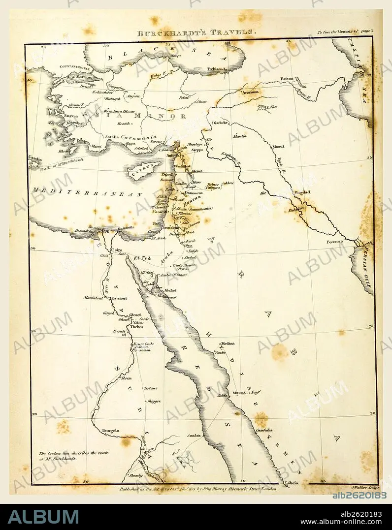
Travels in Nubia, Map, 19th century engraving, Nubia is a region along the Nile river, which is located in northern Sudan and southern Egypt.
| Partager |
|---|
 Pinterest Pinterest |
 Twitter Twitter |
 Facebook Facebook |
 Copier le lien Copier le lien |
 Email Email |
|
Ajouter à une autre Lightbox |
|
Ajouter à une autre Lightbox |


Avez-vous déjà un compte? S'identifier
Vous n'avez pas de compte ? S'inscrire
Acheter cette image.
Sélectionnez l'usage:

Légende: Voir la traduction automatique
Travels in Nubia, Map, 19th century engraving, Nubia is a region along the Nile river, which is located in northern Sudan and southern Egypt
Travels in Nubia, Map, 19th century engraving, Nubia is a region along the Nile river, which is located in northern Sudan and southern Egypt
Crédit: Album / quintlox
Autorisations: ? Autorisation de modèle: Non - ? Autorisation de propriété: Non
Questions sur les droits?
Questions sur les droits?
Taille de l'image: 4415 × 5677 px | 71.7 MB
Taille d'impression: 37.4 × 48.1 cm | 1738.2 × 2235.0 in (300 dpi)
Mots clés: CARTE (GEOGRAPHIE) • CARTE GEOGRAPHIQUE • CARTE • DESSIN PLANS • FLEUVE NIL • NIL • NIL, FLEUVE • PLAN (CARTOGRAPHIE) • PLANS • TRANSPORT VOYAGE • TRAVERSÉE • VOYAGE
